
MyTopo
Ryndon Nevada US Topo Map
Couldn't load pickup availability
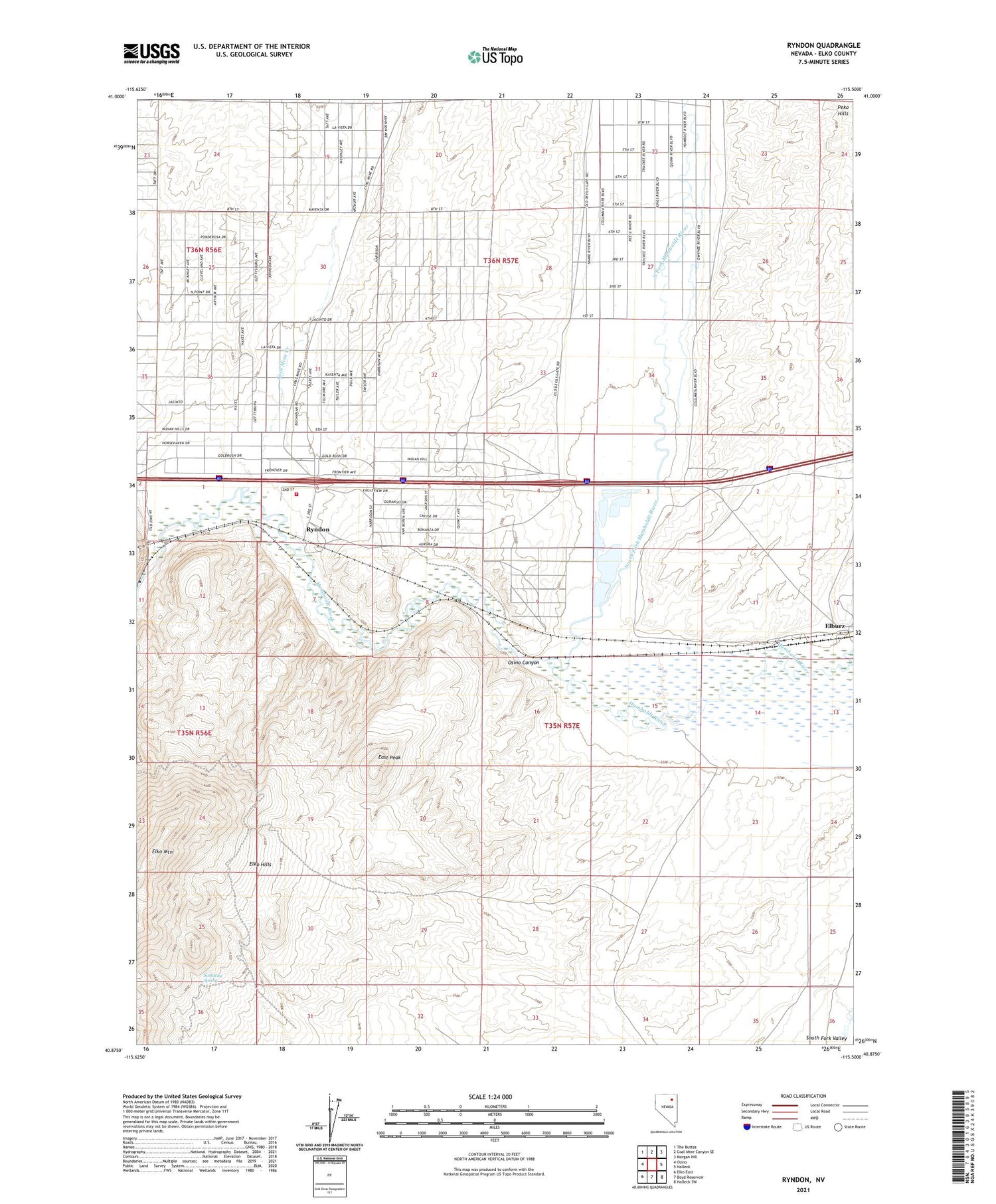
2021 topographic map quadrangle Ryndon in the state of Nevada. Scale: 1:24000. Based on the newly updated USGS 7.5' US Topo map series, this map is in the following counties: Elko. The map contains contour data, water features, and other items you are used to seeing on USGS maps, but also has updated roads and other features. This is the next generation of topographic maps. Printed on high-quality waterproof paper with UV fade-resistant inks.
Quads adjacent to this one:
West: Osino
Northwest: The Buttes
North: Coal Mine Canyon SE
Northeast: Morgan Hill
East: Halleck
Southeast: Halleck SW
South: Boyd Reservoir
Southwest: Elko East
This map covers the same area as the classic USGS quad with code o40115h5.
Contains the following named places: Coal Mine Creek, East Peak, Elburz, Elmore Ranch, Humboldt Park, North Fork Humboldt River, Ryndon, Ryndon Post Office, Ryndon Volunteer Fire Department, Sustacha Spring


