MyTopo
Te-Moak Well Nevada US Topo Map
Couldn't load pickup availability
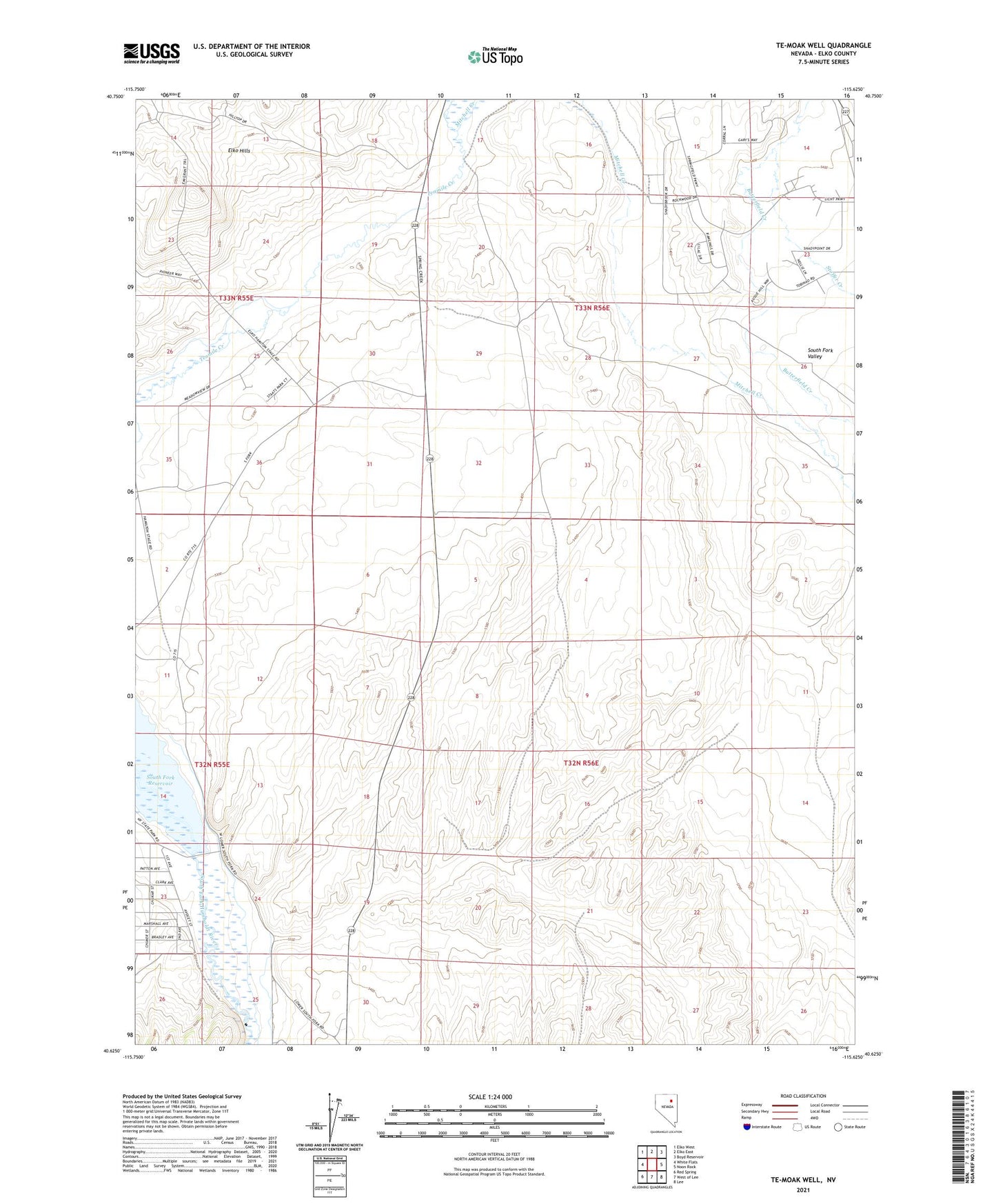
2021 topographic map quadrangle Te-Moak Well in the state of Nevada. Scale: 1:24000. Based on the newly updated USGS 7.5' US Topo map series, this map is in the following counties: Elko. The map contains contour data, water features, and other items you are used to seeing on USGS maps, but also has updated roads and other features. This is the next generation of topographic maps. Printed on high-quality waterproof paper with UV fade-resistant inks.
Quads adjacent to this one:
West: White Flats
Northwest: Elko West
North: Elko East
Northeast: Boyd Reservoir
East: Noon Rock
Southeast: Lee
South: West of Lee
Southwest: Red Spring
This map covers the same area as the classic USGS quad with code o40115f6.
Contains the following named places: Beacheys Station, Butterfield Creek, Coral Hill, Coral Hill Post Office, Hilton Ditch, Huntington Creek, Mitchell Creek, Secrist Well, Shepherds Station, South Fork Recreation Area, South Fork Valley, South Fork Well, Te-Moak Well, Tenmile Well, Tomera Ranch