MyTopo
Hubbard Basin Nevada US Topo Map
Couldn't load pickup availability
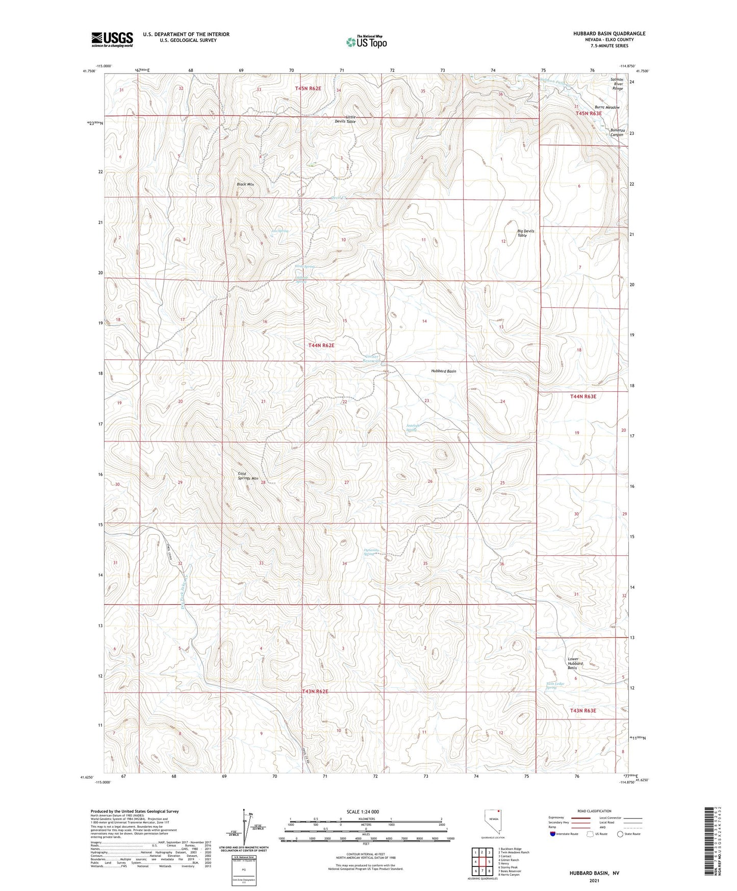
2021 topographic map quadrangle Hubbard Basin in the state of Nevada. Scale: 1:24000. Based on the newly updated USGS 7.5' US Topo map series, this map is in the following counties: Elko. The map contains contour data, water features, and other items you are used to seeing on USGS maps, but also has updated roads and other features. This is the next generation of topographic maps. Printed on high-quality waterproof paper with UV fade-resistant inks.
Quads adjacent to this one:
West: Gilmer Ranch
Northwest: Buckhorn Ridge
North: Twin Meadows Ranch
Northeast: Contact
East: Henry
Southeast: Harris Canyon
South: Boies Reservoir
Southwest: Stormy Peak
This map covers the same area as the classic USGS quad with code o41114f8.
Contains the following named places: Antelope Spring, Big Devils Table, Black Mountain, Bonanza Canyon, Burnt Meadow, Cold Springs Mountain, Corner Reservoir, Dynamite Spring, Hillside Spring, Hubbard Basin, Leo Spring, Little Devils Table, Lower Hubbard Basin, Twin Ledge Spring, Wrist Spring