MyTopo
Twin Meadows Ranch Nevada US Topo Map
Couldn't load pickup availability
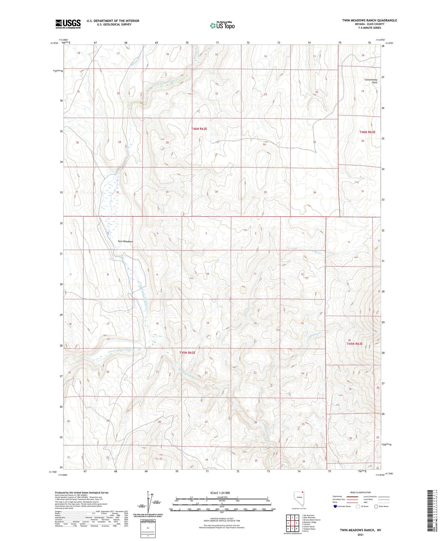
2021 topographic map quadrangle Twin Meadows Ranch in the state of Nevada. Scale: 1:24000. Based on the newly updated USGS 7.5' US Topo map series, this map is in the following counties: Elko. The map contains contour data, water features, and other items you are used to seeing on USGS maps, but also has updated roads and other features. This is the next generation of topographic maps. Printed on high-quality waterproof paper with UV fade-resistant inks.
Quads adjacent to this one:
West: Buckhorn Ridge
Northwest: Elk Mountain
North: Bear Mountain
Northeast: Browns Bench Ranch
East: Contact
Southeast: Henry
South: Hubbard Basin
Southwest: Gilmer Ranch
This map covers the same area as the classic USGS quad with code o41114g8.
Contains the following named places: Devil Creek, Monkey Creek, North Fork Salmon Falls Creek, Scott Creek, South Fork Salmon Falls Creek, Twin Meadows, Twin Meadows Ranch, Willow Creek, Wilson Creek