MyTopo
Ione NW Nevada US Topo Map
Couldn't load pickup availability
Also explore the Ione NW Forest Service Topo of this same quad for updated USFS data
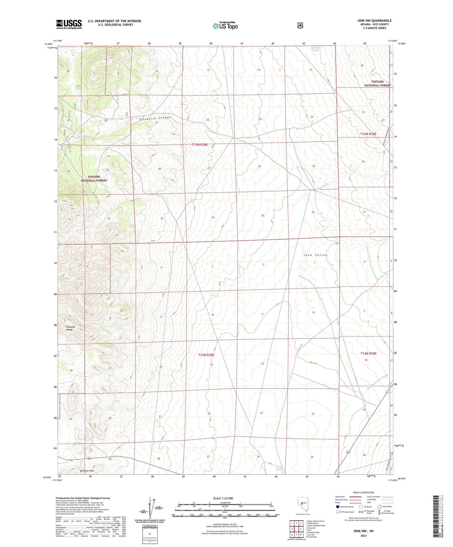
2021 topographic map quadrangle Ione NW in the state of Nevada. Scale: 1:24000. Based on the newly updated USGS 7.5' US Topo map series, this map is in the following counties: Nye. The map contains contour data, water features, and other items you are used to seeing on USGS maps, but also has updated roads and other features. This is the next generation of topographic maps. Printed on high-quality waterproof paper with UV fade-resistant inks.
Quads adjacent to this one:
West: Ellsworth
Northwest: Burnt Cabin Summit
North: Midas Spring
Northeast: South Shoshone Peak
East: Ione
Southeast: Grantsville
South: Ione SW
Southwest: Paradise Peak
This map covers the same area as the classic USGS quad with code o38117h6.
Contains the following named places: Ellsworth Canyon, Gold and Curry Number One Mine, Key Flower Mine, Kohinoor Mine, Sand Wash