MyTopo
Kingston Nevada US Topo Map
Couldn't load pickup availability
Also explore the Kingston Forest Service Topo of this same quad for updated USFS data
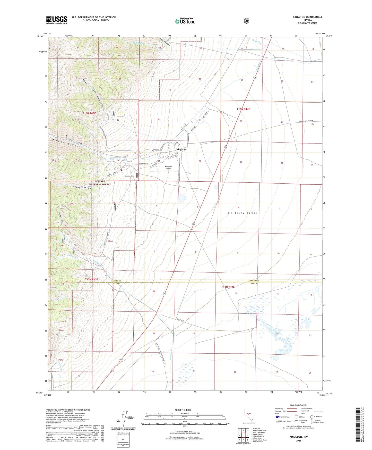
2021 topographic map quadrangle Kingston in the state of Nevada. Scale: 1:24000. Based on the newly updated USGS 7.5' US Topo map series, this map is in the following counties: Lander, Nye. The map contains contour data, water features, and other items you are used to seeing on USGS maps, but also has updated roads and other features. This is the next generation of topographic maps. Printed on high-quality waterproof paper with UV fade-resistant inks.
Quads adjacent to this one:
West: Brewer Canyon
Northwest: Bunker Hill
North: North Toiyabe Peak
Northeast: Birch Creek Ranch
East: Wildcat Peak NW
Southeast: Wildcat Canyon
South: East of Millett Ranch
Southwest: Millett Ranch
This map covers the same area as the classic USGS quad with code o39117b1.
Contains the following named places: Austin Ranger District, Blakeley Canyon, Bow Mine, Bowman Creek, Bowman Mine, Bowman Ranch, Broad Canyon, Broad Canyon Mine, Carseley Creek, Clear Creek, Golden Star Mine, Guadalajara, Kingston, Kingston Airport, Kingston Canyon, Kingston Cemetery, Kingston Census Designated Place, Kingston Placer Mine, Kingston Post Office, Kingston Ranch, Kingston Volunteer Fire Department, Miniums Station, Mother Lode Mine, Santa Fe Canyon, Santa Fe Creek, Schmidtlein Ranch, Shoshone Creek, Smoky Valley School, Triple T Ranch, Victorine Mill