MyTopo
Morgan Hill Nevada US Topo Map
Couldn't load pickup availability
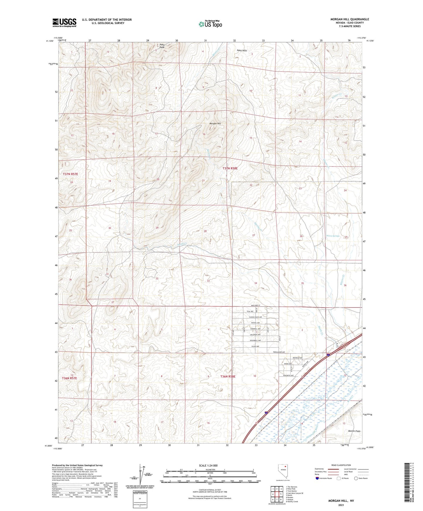
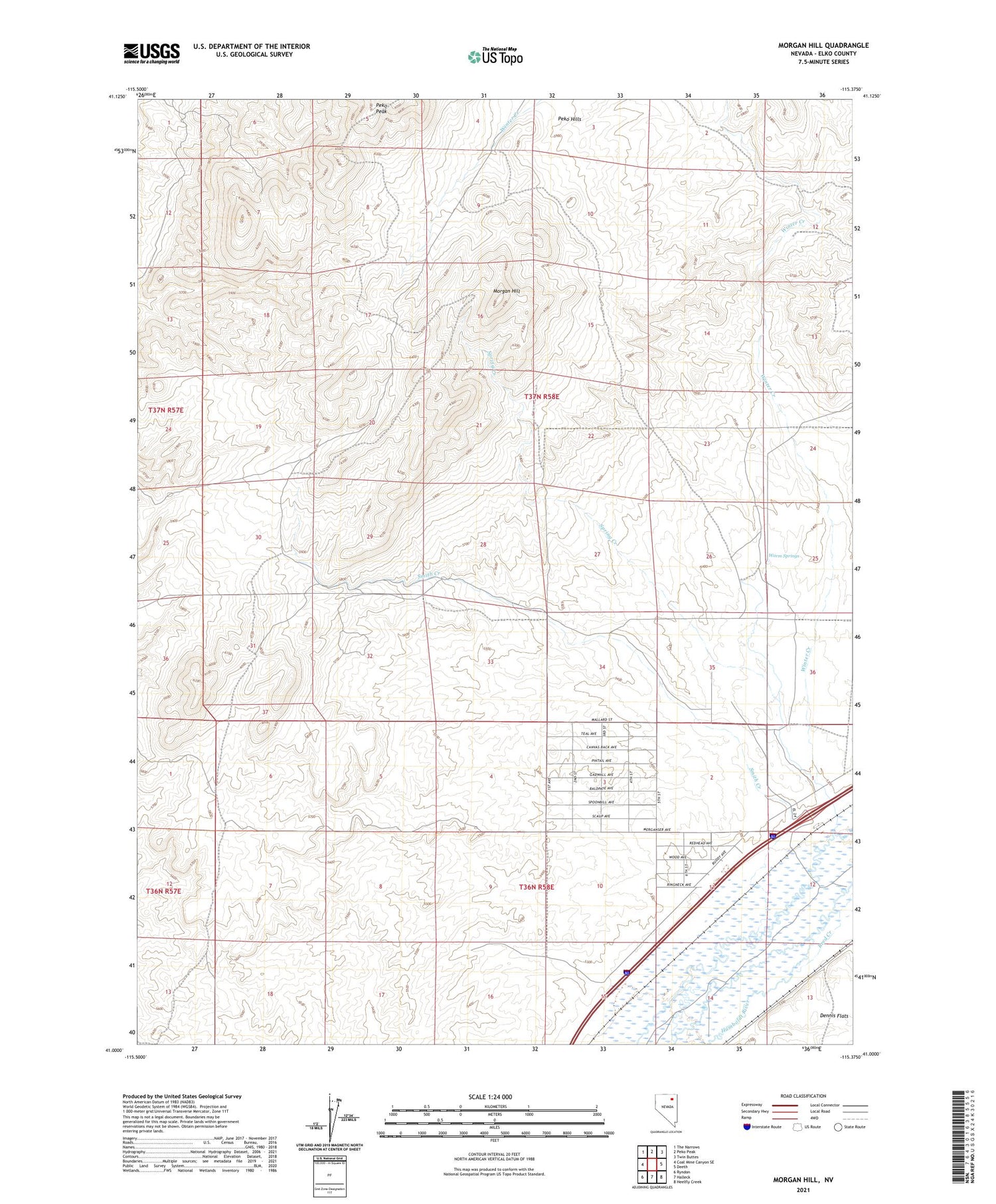
2021 topographic map quadrangle Morgan Hill in the state of Nevada. Scale: 1:24000. Based on the newly updated USGS 7.5' US Topo map series, this map is in the following counties: Elko. The map contains contour data, water features, and other items you are used to seeing on USGS maps, but also has updated roads and other features. This is the next generation of topographic maps. Printed on high-quality waterproof paper with UV fade-resistant inks.
Quads adjacent to this one:
West: Coal Mine Canyon SE
Northwest: The Narrows
North: Peko Peak
Northeast: Twin Buttes
East: Deeth
Southeast: Heelfly Creek
South: Halleck
Southwest: Ryndon
This map covers the same area as the classic USGS quad with code o41115a4.
Contains the following named places: Dry Gulch Well, Hidden Well, Morgan Hill, Peko Hills, Rasid, Reed Creek, River Ranch, Smith Creek, Spring Creek, Warm Springs, White Hills Well, Winter Creek, Winter Creek Well