MyTopo
Heelfly Creek Nevada US Topo Map
Couldn't load pickup availability
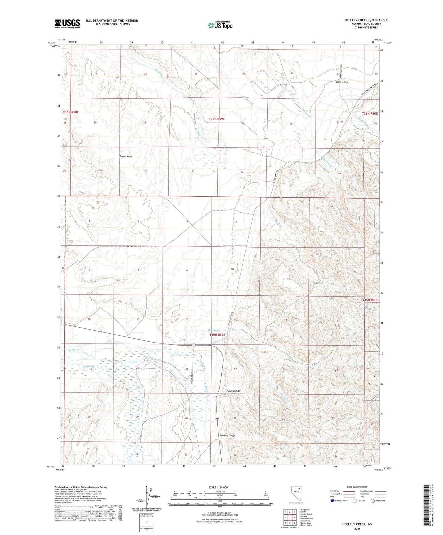
2021 topographic map quadrangle Heelfly Creek in the state of Nevada. Scale: 1:24000. Based on the newly updated USGS 7.5' US Topo map series, this map is in the following counties: Elko. The map contains contour data, water features, and other items you are used to seeing on USGS maps, but also has updated roads and other features. This is the next generation of topographic maps. Printed on high-quality waterproof paper with UV fade-resistant inks.
Quads adjacent to this one:
West: Halleck
Northwest: Morgan Hill
North: Deeth
Northeast: Herder Creek
East: Tent Mountain
Southeast: Secret Valley
South: Soldier Peak
Southwest: Halleck SW
This map covers the same area as the classic USGS quad with code o40115h3.
Contains the following named places: Boulder School, Corral Canyon, Deer Horn Ranch, Dennis Flats, Dennis Flats Pipeline, Dennis Flats Well, Heelfly Creek, M J Dahl Ranch, Poverty Gulch, Seventyone Ranch