MyTopo
Ninemile Ranch Nevada US Topo Map
Couldn't load pickup availability
Also explore the Ninemile Ranch Forest Service Topo of this same quad for updated USFS data
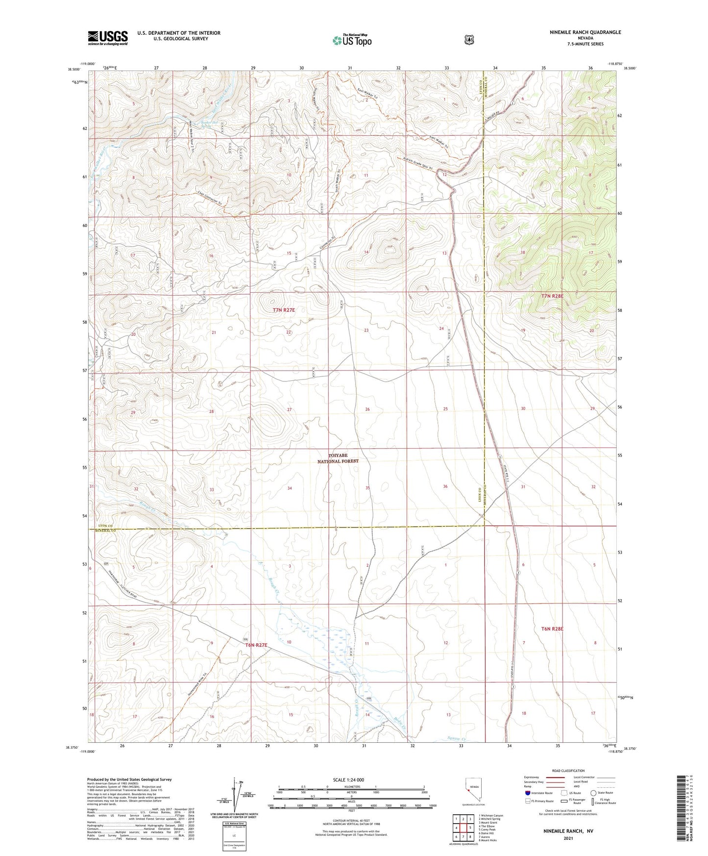
2023 topographic map quadrangle Ninemile Ranch in the state of Nevada. Scale: 1:24000. Based on the newly updated USGS 7.5' US Topo map series, this map is in the following counties: Lyon, Mineral. The map contains contour data, water features, and other items you are used to seeing on USGS maps, but also has updated roads and other features. This is the next generation of topographic maps. Printed on high-quality waterproof paper with UV fade-resistant inks.
Quads adjacent to this one:
West: The Elbow
Northwest: Wichman Canyon
North: Mitchell Spring
Northeast: Mount Grant
East: Corey Peak
Southeast: Mount Hicks
South: Aurora
Southwest: Dome Hill
This map covers the same area as the classic USGS quad with code o38118d8.
Contains the following named places: Aldrich Station, Booker Hot Spring, Lone Star Ranch, Nine Mile Drift Fence, Ninemile Ranch