MyTopo
Paris Creek Nevada US Topo Map
Couldn't load pickup availability
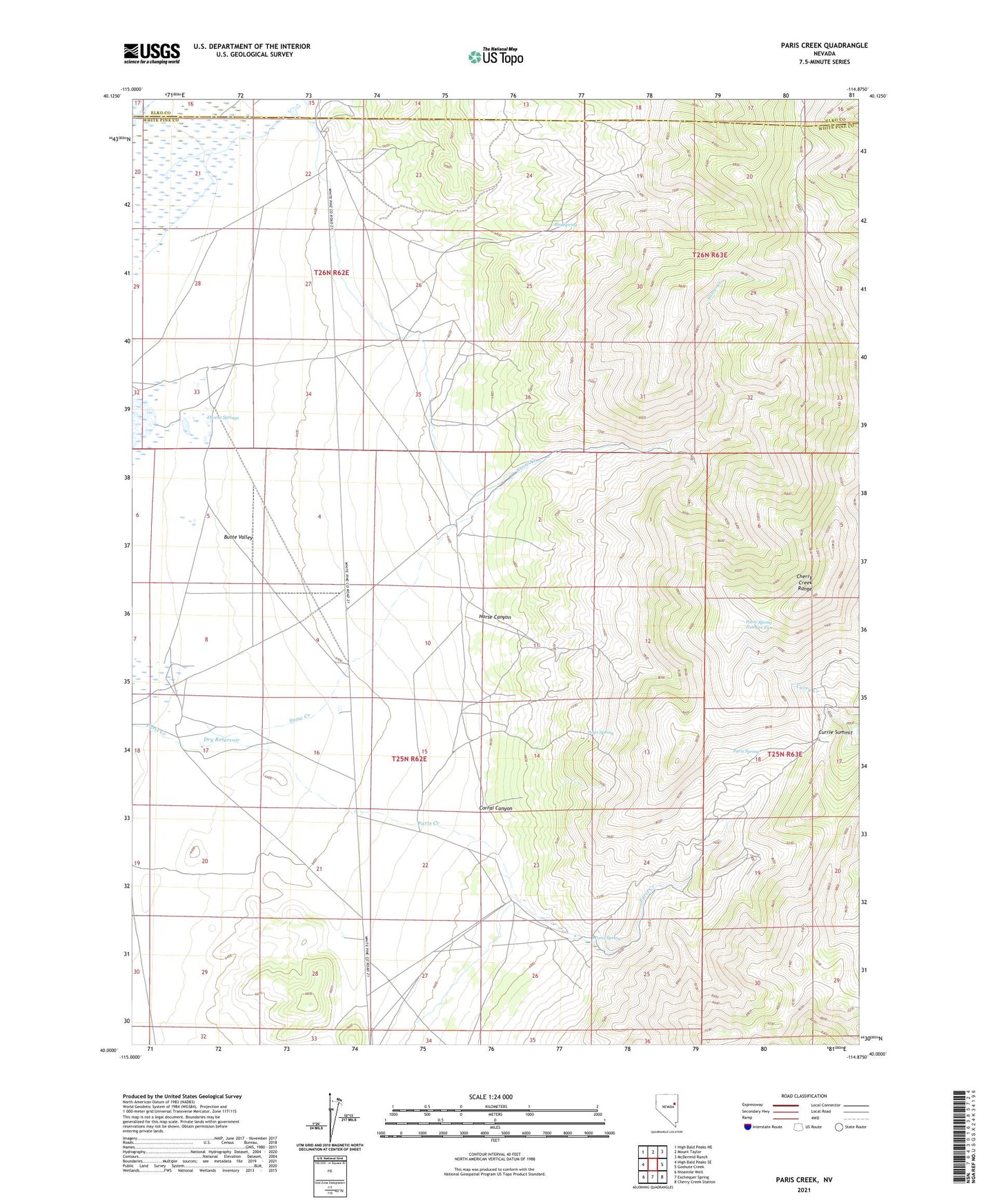
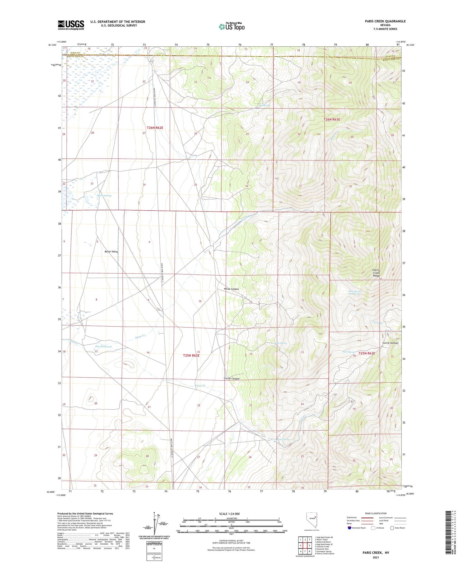
2021 topographic map quadrangle Paris Creek in the state of Nevada. Scale: 1:24000. Based on the newly updated USGS 7.5' US Topo map series, this map is in the following counties: White Pine, Elko. The map contains contour data, water features, and other items you are used to seeing on USGS maps, but also has updated roads and other features. This is the next generation of topographic maps. Printed on high-quality waterproof paper with UV fade-resistant inks.
Quads adjacent to this one:
West: High Bald Peaks SE
Northwest: High Bald Peaks NE
North: Mount Taylor
Northeast: McDermid Ranch
East: Goshute Creek
Southeast: Cherry Creek Station
South: Exchequer Spring
Southwest: Ninemile Well
This map covers the same area as the classic USGS quad with code o40114a8.
Contains the following named places: Box Spring, Cherry Creek Range, Corral Canyon, Currie Summit, Dry Reservoir, Gibson Windmill, Horse Canyon, Owens Springs, Paris Ranch, Paris Spring, Paris Spring Number Five, Petes Spring, Snow Creek, Snow Creek Ranch, Stratton Ranch