MyTopo
Pilot Peak SW Nevada US Topo Map
Couldn't load pickup availability
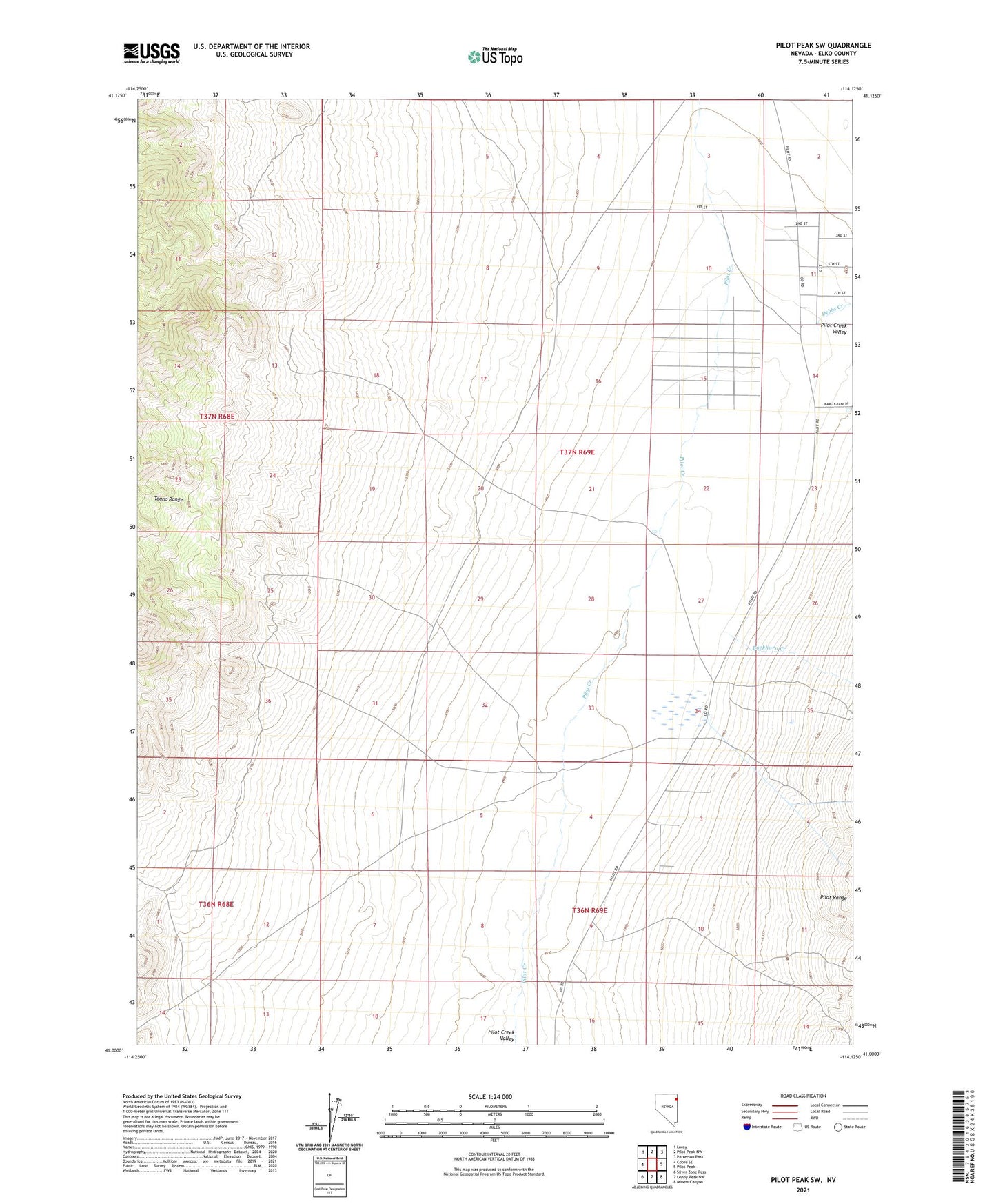
2021 topographic map quadrangle Pilot Peak SW in the state of Nevada. Scale: 1:24000. Based on the newly updated USGS 7.5' US Topo map series, this map is in the following counties: Elko. The map contains contour data, water features, and other items you are used to seeing on USGS maps, but also has updated roads and other features. This is the next generation of topographic maps. Printed on high-quality waterproof paper with UV fade-resistant inks.
Quads adjacent to this one:
West: Cobre SE
Northwest: Loray
North: Pilot Peak NW
Northeast: Patterson Pass
East: Pilot Peak
Southeast: Miners Canyon
South: Leppy Peak NW
Southwest: Silver Zone Pass
This map covers the same area as the classic USGS quad with code o41114a2.
Contains the following named places: Baker Mine, Buckhorn Creek, Castle Park Well, Debbs Creek, Pilot Mountain Ranch, Pilot Well, Stockland Reservoir