MyTopo
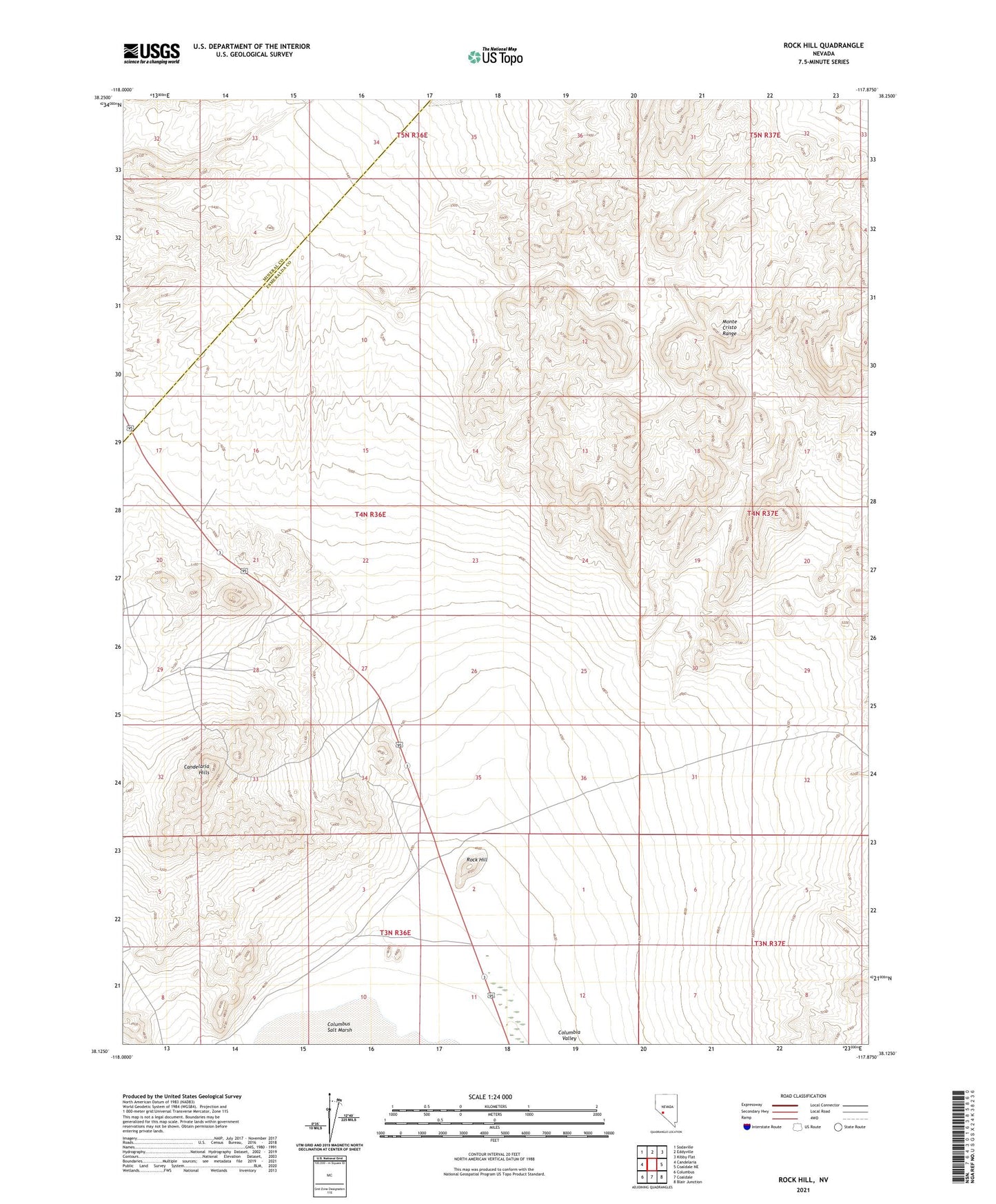
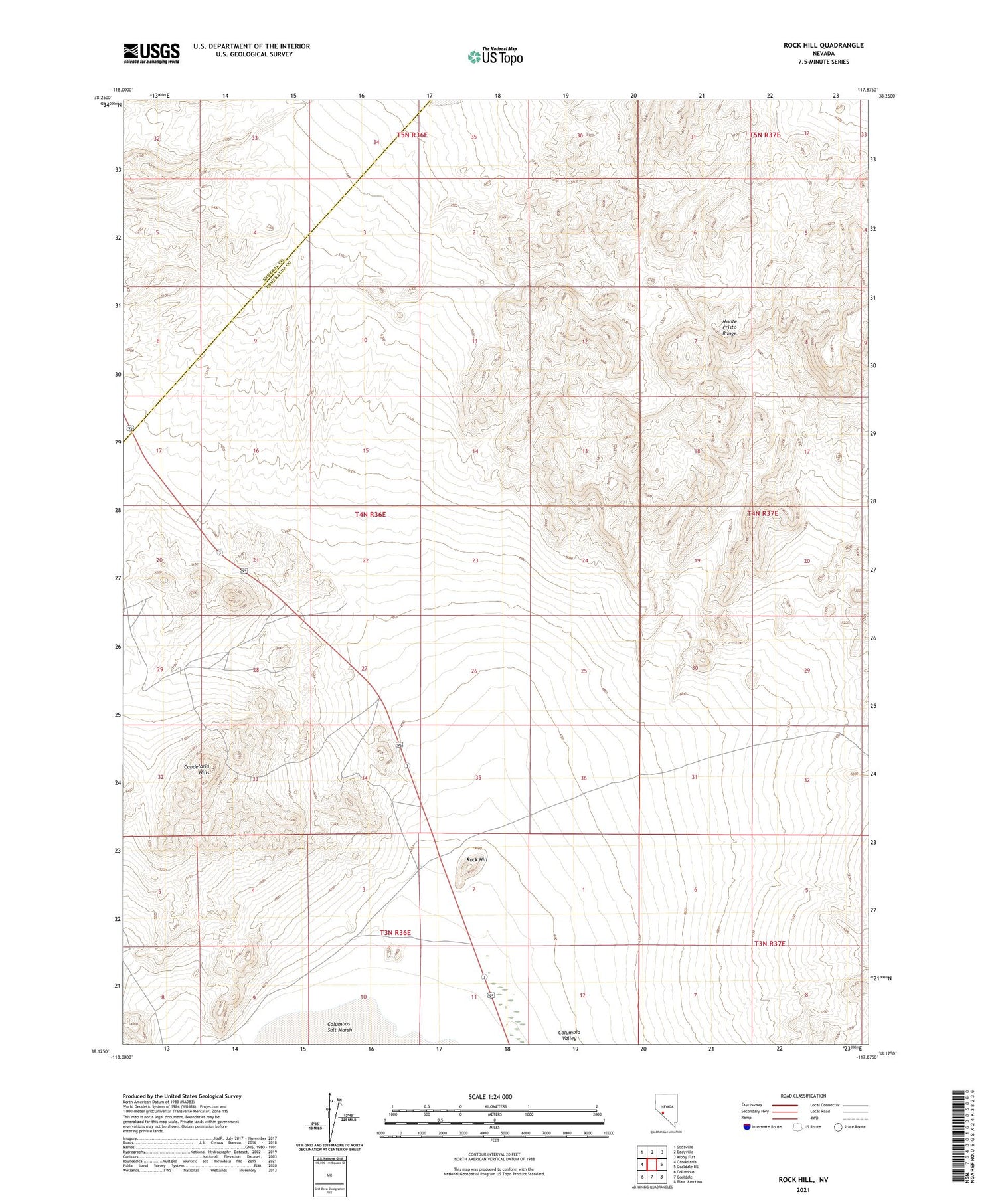
Rock Hill Nevada US Topo Map
Couldn't load pickup availability
2021 topographic map quadrangle Rock Hill in the state of Nevada. Scale: 1:24000. Based on the newly updated USGS 7.5' US Topo map series, this map is in the following counties: Esmeralda, Mineral. The map contains contour data, water features, and other items you are used to seeing on USGS maps, but also has updated roads and other features. This is the next generation of topographic maps. Printed on high-quality waterproof paper with UV fade-resistant inks.
Quads adjacent to this one:
West: Candelaria
Northwest: Sodaville
North: Eddyville
Northeast: Kibby Flat
East: Coaldale NE
Southeast: Blair Junction
South: Coaldale
Southwest: Columbus
Contains the following named places: Broken Toe Mine, Faringtons Salt Dump, Redlich, Redlich Post Office, Rock Hill, Rock Hill Mines, Rock Hill Mining District