MyTopo
Soda Lake East Nevada US Topo Map
Couldn't load pickup availability
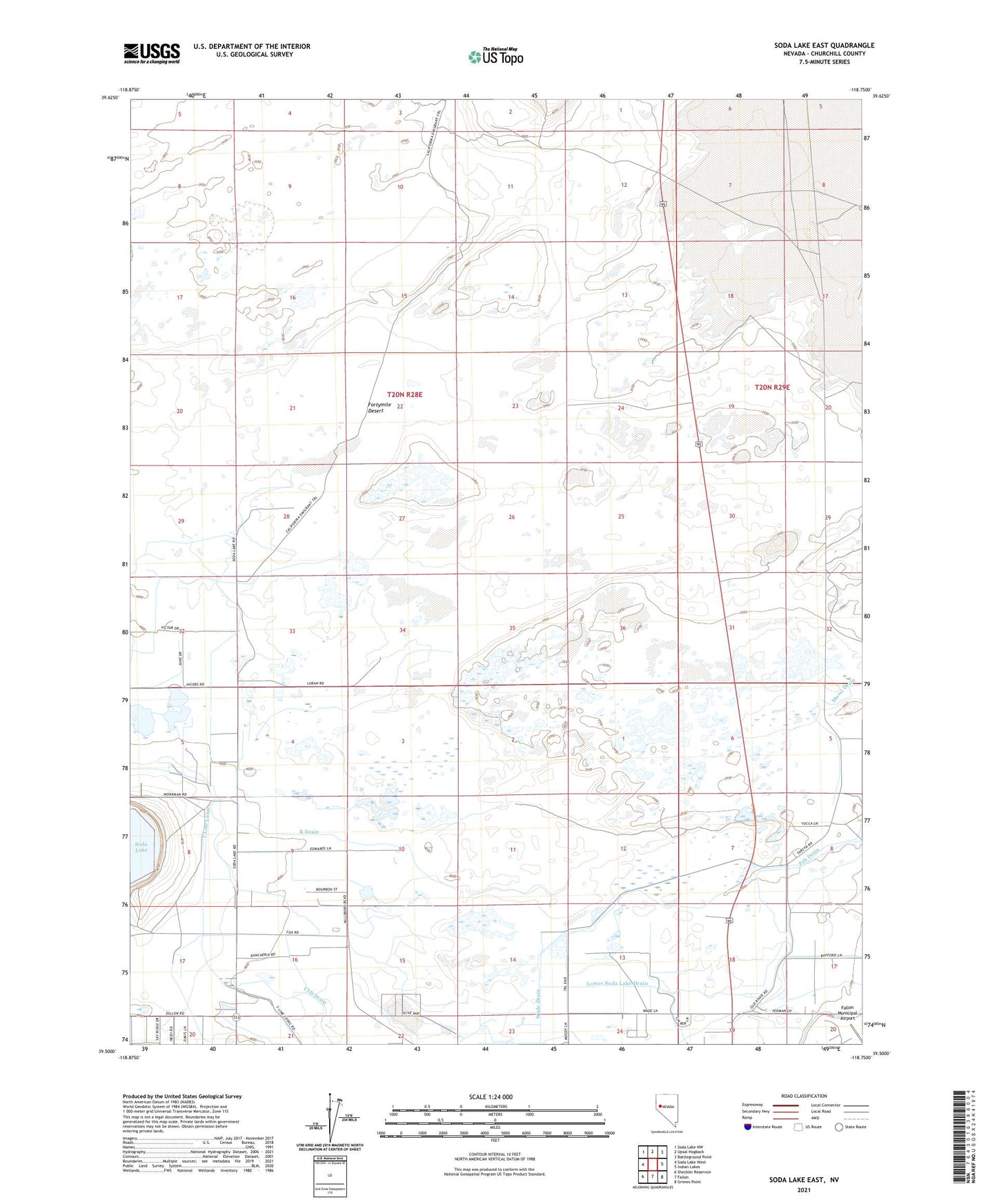
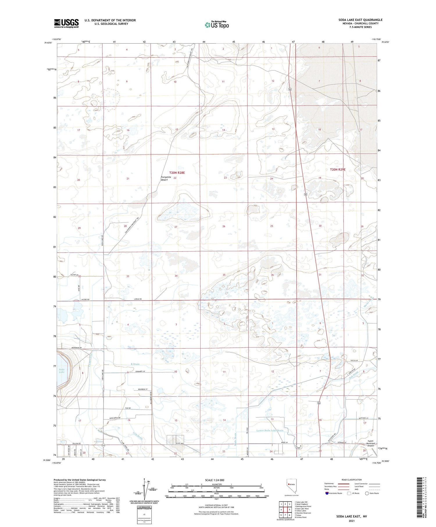
2021 topographic map quadrangle Soda Lake East in the state of Nevada. Scale: 1:24000. Based on the newly updated USGS 7.5' US Topo map series, this map is in the following counties: Churchill. The map contains contour data, water features, and other items you are used to seeing on USGS maps, but also has updated roads and other features. This is the next generation of topographic maps. Printed on high-quality waterproof paper with UV fade-resistant inks.
Quads adjacent to this one:
West: Soda Lake West
Northwest: Soda Lake NW
North: Upsal Hogback
Northeast: Battleground Point
East: Indian Lakes
Southeast: Grimes Point
South: Fallon
Southwest: Sheckler Reservoir
Contains the following named places: Erb Drain, Lower Soda Lake Drain, Old California Trail, Old Reservoir, Old River Community Hall, Ponte Drain, R Drain, Soda Lake Drain, T Line Canal, UID Drain, Wade Drain