MyTopo
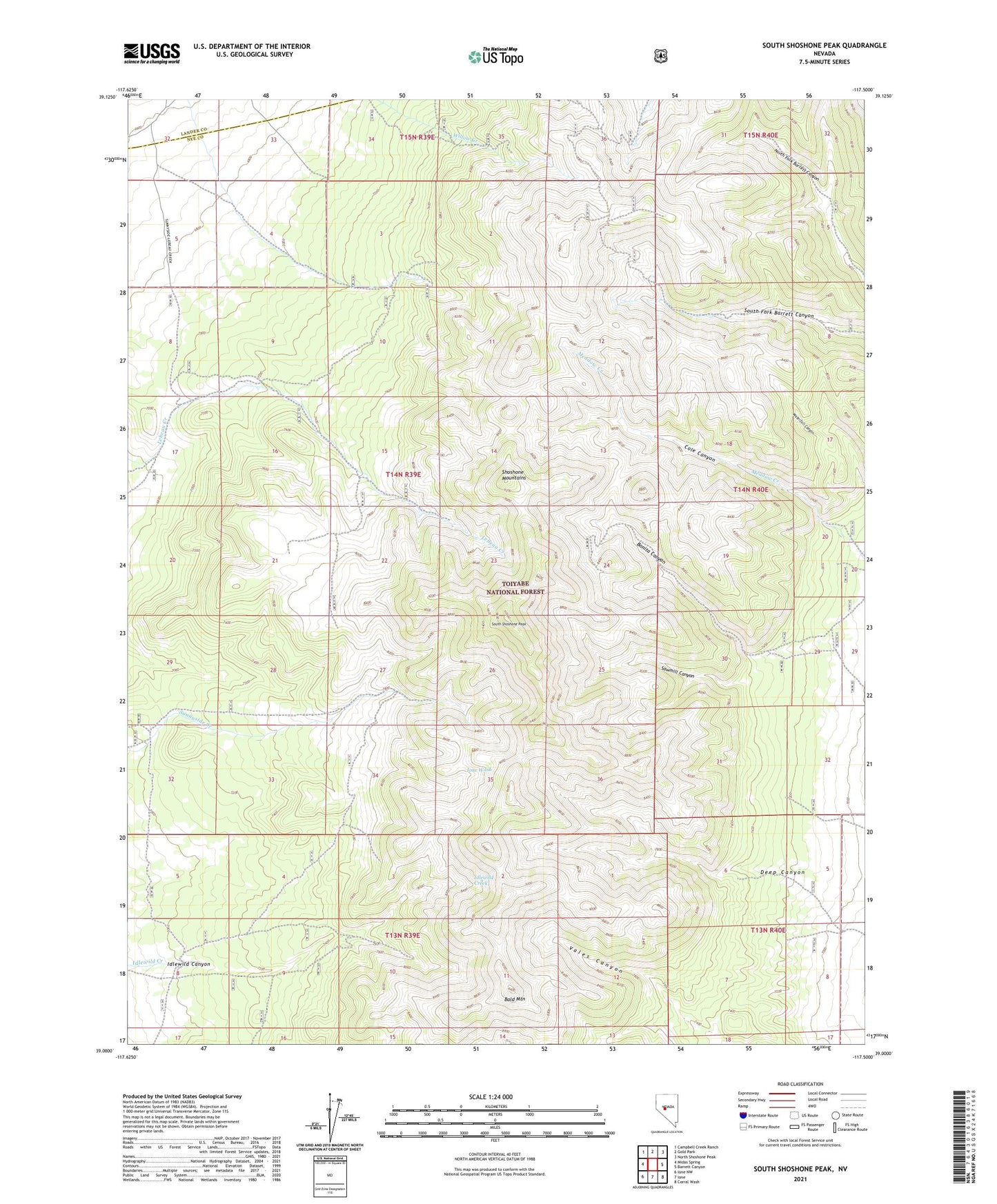
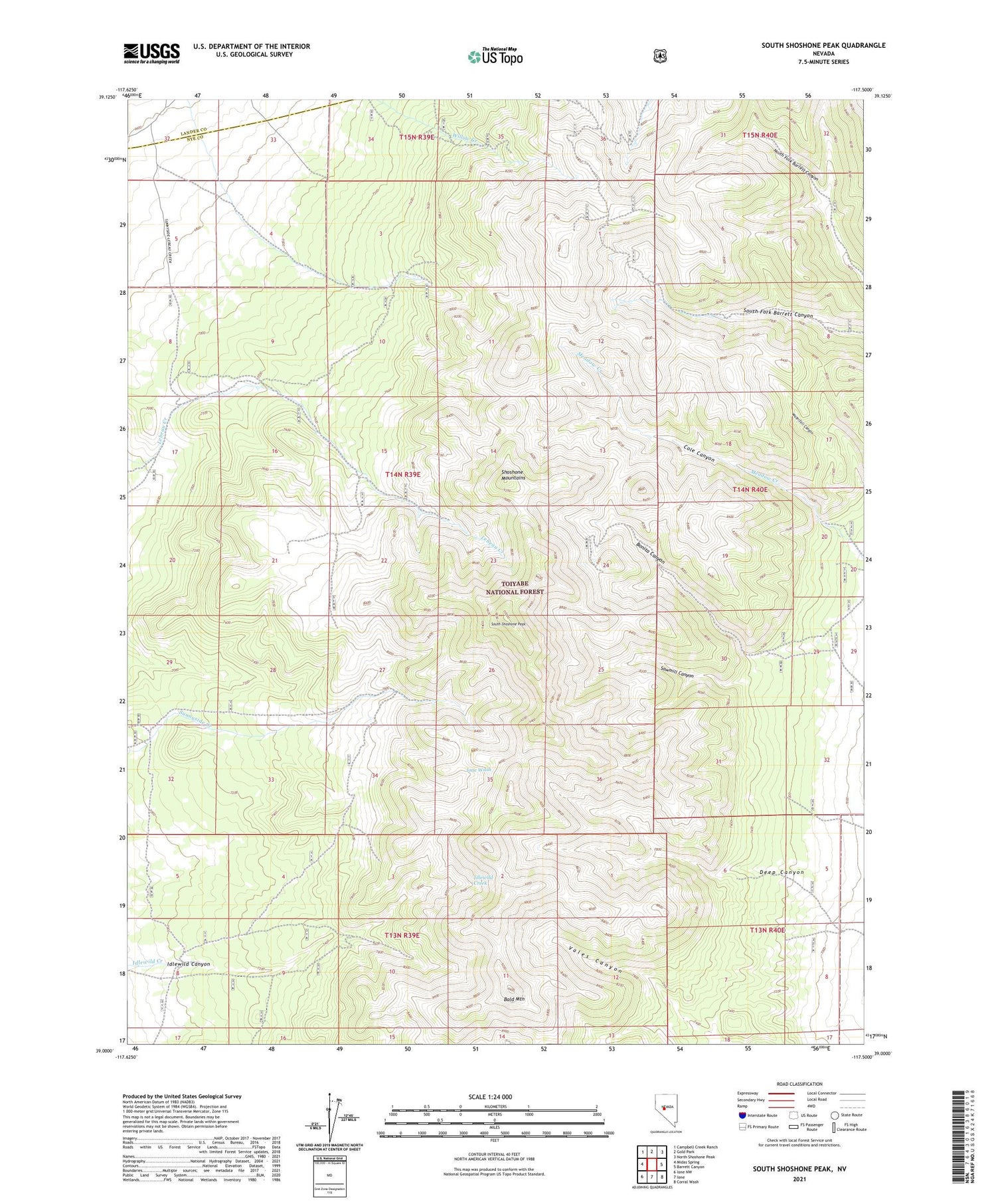
South Shoshone Peak Nevada US Topo Map
Couldn't load pickup availability
2021 topographic map quadrangle South Shoshone Peak in the state of Nevada. Scale: 1:24000. Based on the newly updated USGS 7.5' US Topo map series, this map is in the following counties: Nye, Lander. The map contains contour data, water features, and other items you are used to seeing on USGS maps, but also has updated roads and other features. This is the next generation of topographic maps. Printed on high-quality waterproof paper with UV fade-resistant inks.
Quads adjacent to this one:
West: Midas Spring
Northwest: Campbell Creek Ranch
North: Gold Park
Northeast: North Shoshone Peak
East: Barrett Canyon
Southeast: Corral Wash
South: Ione
Southwest: Ione NW
Contains the following named places: Bald Mountain, Bonita, Bonita Canyon, Bonita Post Office, Cole Canyon, Deep Canyon, Dottie Lee Mine, Grey Eagle Mine, Hazel E Mine, Idlewild, Idlewild Canyon, Last Chance Mine, Le Beau Ranch, Midas, Midas Post Office, Sawmill Canyon, South Shoshone Peak, War Cloud Mine, War Eagle Mine