MyTopo
Tabor Flats Nevada US Topo Map
Couldn't load pickup availability
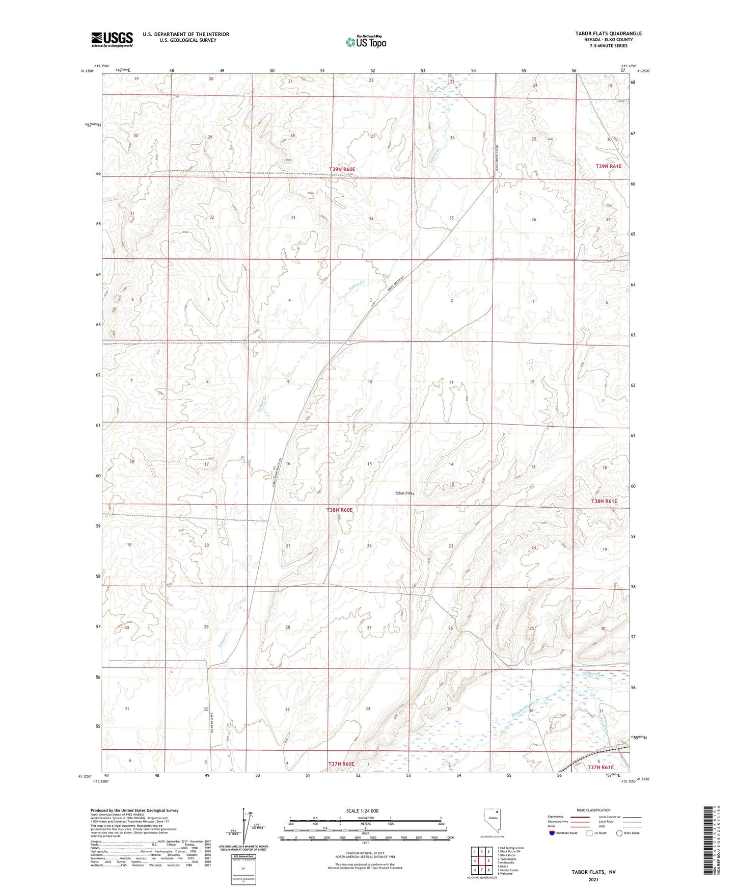
2021 topographic map quadrangle Tabor Flats in the state of Nevada. Scale: 1:24000. Based on the newly updated USGS 7.5' US Topo map series, this map is in the following counties: Elko. The map contains contour data, water features, and other items you are used to seeing on USGS maps, but also has updated roads and other features. This is the next generation of topographic maps. Printed on high-quality waterproof paper with UV fade-resistant inks.
Quads adjacent to this one:
West: Twin Buttes
Northwest: Hot Springs Creek
North: Black Butte SW
Northeast: Black Butte
East: Metropolis
Southeast: Welcome
South: Herder Creek
Southwest: Deeth
This map covers the same area as the classic USGS quad with code o41115b2.
Contains the following named places: Bishop Creek, Bishops, Dahl Well, Rabbit Creek Reservoir, Spratling Well, Starr, Tabor Flats, Trout Creek, Tulasco Section House, West Tabor Well