MyTopo
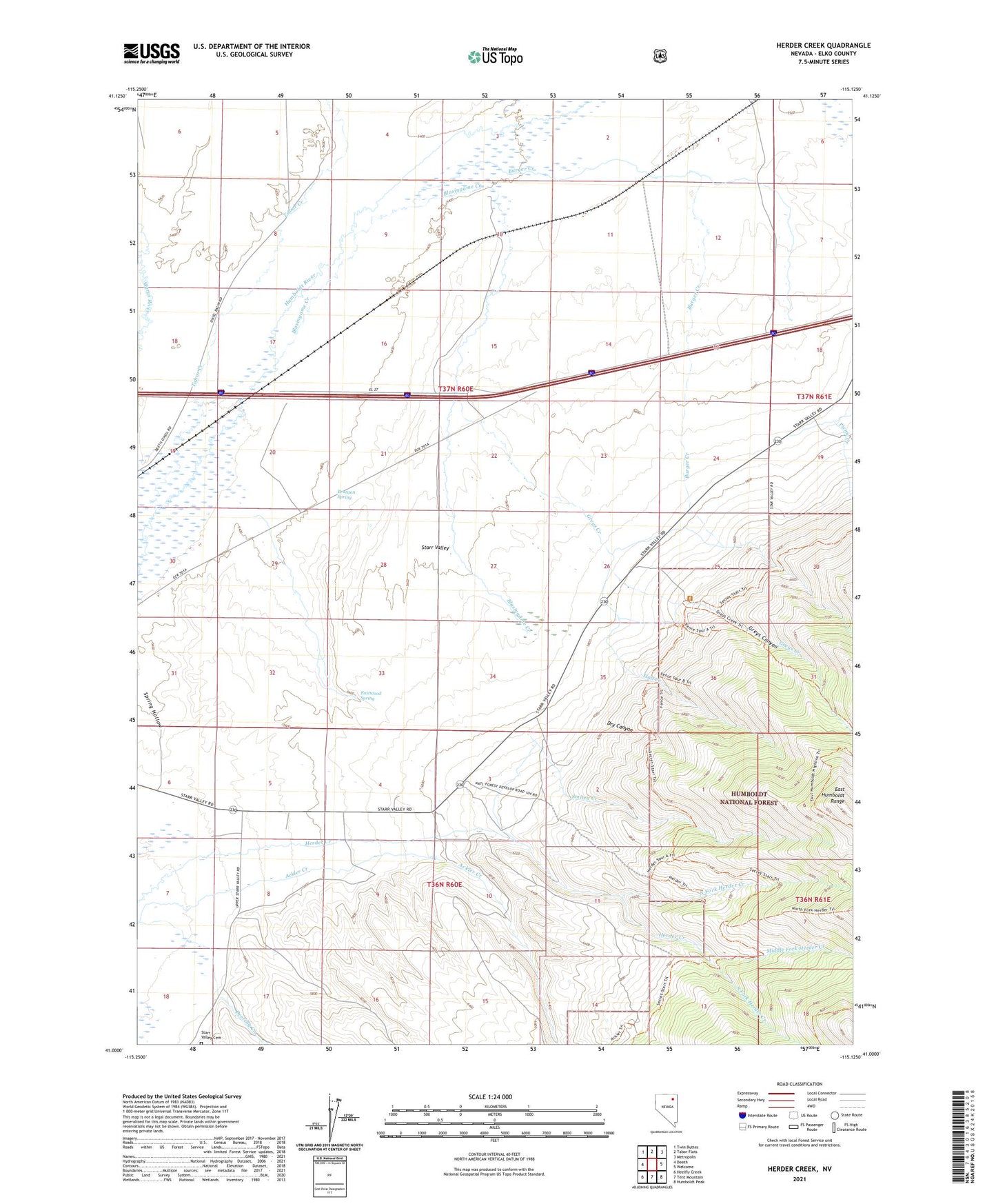
Herder Creek Nevada US Topo Map
Couldn't load pickup availability
Also explore the Herder Creek Forest Service Topo of this same quad for updated USFS data
2021 topographic map quadrangle Herder Creek in the state of Nevada. Scale: 1:24000. Based on the newly updated USGS 7.5' US Topo map series, this map is in the following counties: Elko. The map contains contour data, water features, and other items you are used to seeing on USGS maps, but also has updated roads and other features. This is the next generation of topographic maps. Printed on high-quality waterproof paper with UV fade-resistant inks.
Quads adjacent to this one:
West: Deeth
Northwest: Twin Buttes
North: Tabor Flats
Northeast: Metropolis
East: Welcome
Southeast: Humboldt Peak
South: Tent Mountain
Southwest: Heelfly Creek
This map covers the same area as the classic USGS quad with code o41115a2.
Contains the following named places: Blasingame Creek, Brunson Spring, Burger Creek, Deering Creek, Dry Canyon, Eastwood Spring, Greys Canyon, Greys Creek, Hall Creek, Jaynes Ranch, Jude, Middle Fork Herder Creek, Mountain View Ranch, Nardi, North Fork Herder Creek, Picnic Creek, Smiley Creek, South Fork Herder Creek, Starr Valley, Starr Valley Cemetery, Starr Valley Community Hall, Tabor Creek