MyTopo
Thousand Creek Gorge Nevada US Topo Map
Couldn't load pickup availability
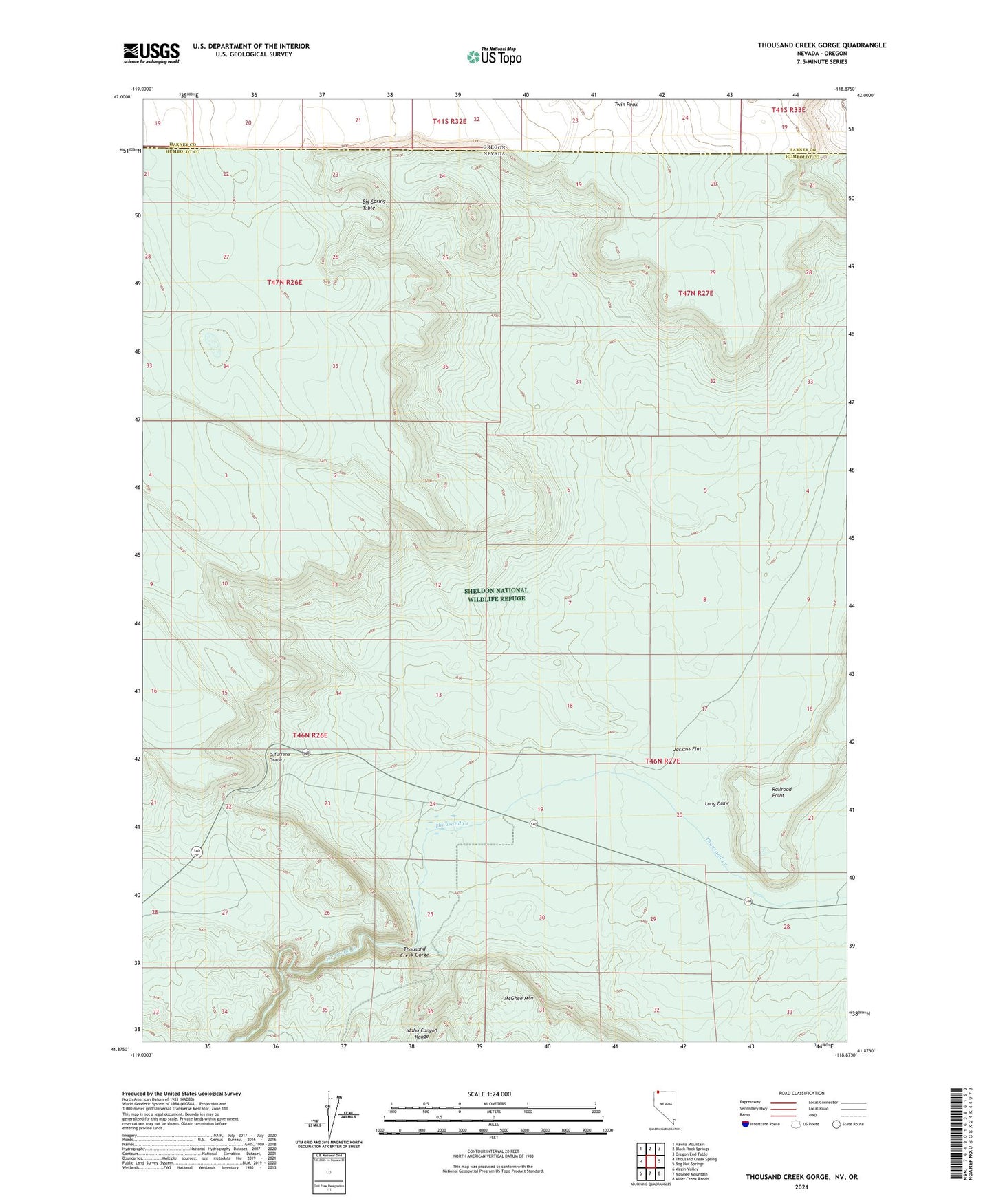
2021 topographic map quadrangle Thousand Creek Gorge in the state of Nevada. Scale: 1:24000. Based on the newly updated USGS 7.5' US Topo map series, this map is in the following counties: Humboldt, Harney. The map contains contour data, water features, and other items you are used to seeing on USGS maps, but also has updated roads and other features. This is the next generation of topographic maps. Printed on high-quality waterproof paper with UV fade-resistant inks.
Quads adjacent to this one:
West: Thousand Creek Spring
Northwest: Hawks Mountain
North: Black Rock Springs
Northeast: Oregon End Table
East: Bog Hot Springs
Southeast: Alder Creek Ranch
South: McGhee Mountain
Southwest: Virgin Valley
Contains the following named places: Dufurrena Grade, Jackass Flat, Long Draw, Thousand Creek Gorge, Thousand Creek Ranch, Twin Peak