MyTopo
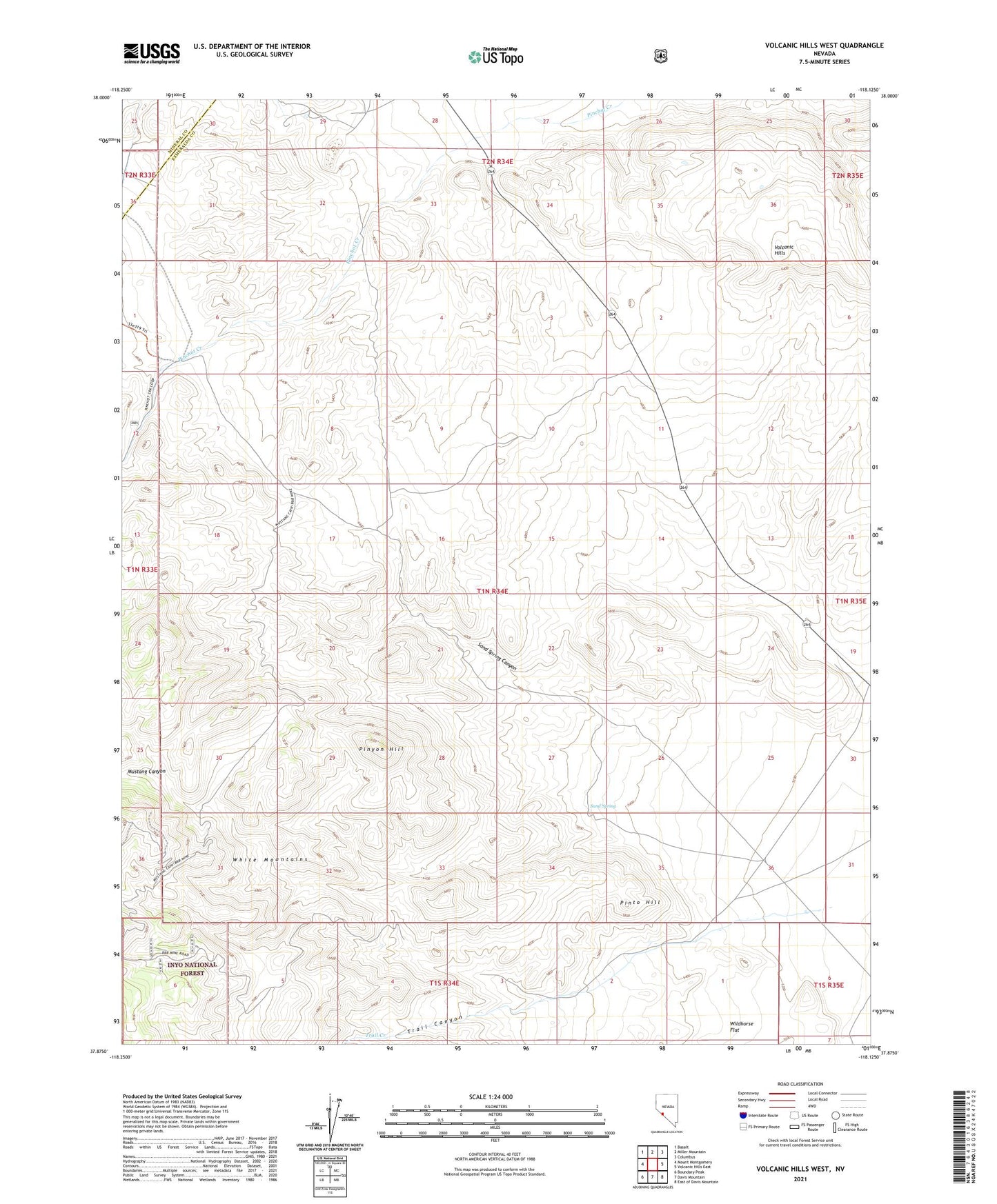
Volcanic Hills West Nevada US Topo Map
Couldn't load pickup availability
Also explore the Volcanic Hills West Forest Service Topo of this same quad for updated USFS data
2021 topographic map quadrangle Volcanic Hills West in the state of Nevada. Scale: 1:24000. Based on the newly updated USGS 7.5' US Topo map series, this map is in the following counties: Esmeralda, Mineral. The map contains contour data, water features, and other items you are used to seeing on USGS maps, but also has updated roads and other features. This is the next generation of topographic maps. Printed on high-quality waterproof paper with UV fade-resistant inks.
Quads adjacent to this one:
West: Mount Montgomery
Northwest: Basalt
North: Miller Mountain
Northeast: Columbus
East: Volcanic Hills East
Southeast: East of Davis Mountain
South: Davis Mountain
Southwest: Boundary Peak
This map covers the same area as the classic USGS quad with code o37118h2.
Contains the following named places: B and D Mercury Mine, Basalt Mine and Mill, F and L Mine, Mustang Canyon, Pinto Hill, Pinyon Hill, Sand Spring, Sand Spring Canyon, Trail Canyon, Trail Creek, Wildhorse Flat