MyTopo
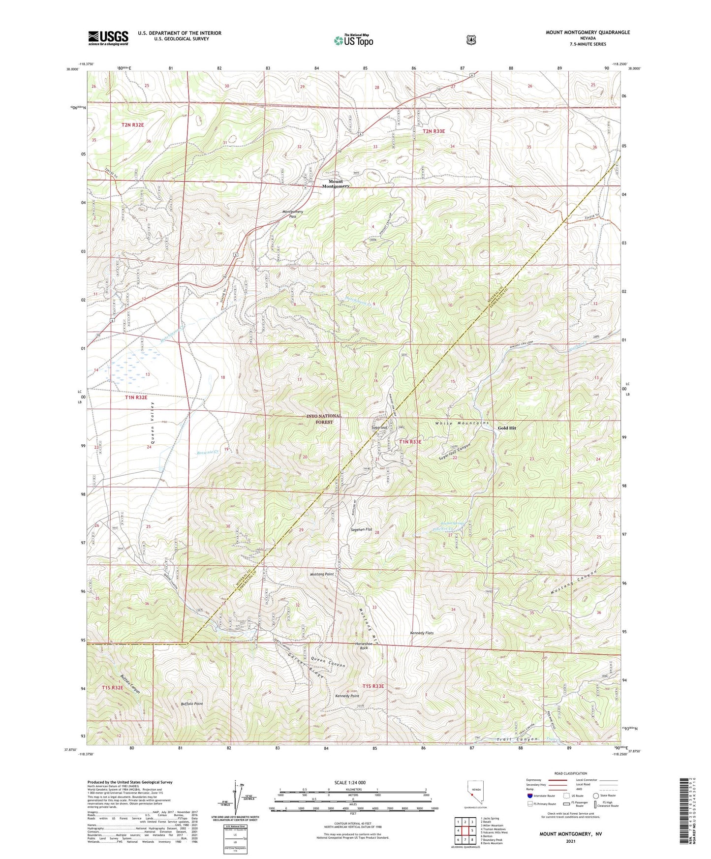
Mount Montgomery Nevada US Topo Map
Couldn't load pickup availability
Also explore the Mount Montgomery Forest Service Topo of this same quad for updated USFS data
2021 topographic map quadrangle Mount Montgomery in the state of Nevada. Scale: 1:24000. Based on the newly updated USGS 7.5' US Topo map series, this map is in the following counties: Mineral, Esmeralda. The map contains contour data, water features, and other items you are used to seeing on USGS maps, but also has updated roads and other features. This is the next generation of topographic maps. Printed on high-quality waterproof paper with UV fade-resistant inks.
Quads adjacent to this one:
West: Truman Meadows
Northwest: Jacks Spring
North: Basalt
Northeast: Miller Mountain
East: Volcanic Hills West
Southeast: Davis Mountain
South: Boundary Peak
Southwest: Benton
This map covers the same area as the classic USGS quad with code o37118h3.
Contains the following named places: Albert Mine, B and B Mine, Bley, Bley Post Office, Brownie Creek, Buckskin Mine, Buena Vista Mining District, Buffalo Point, Candelaria Pipeline, Foreys Toll House, Garner Ridge, Gold Hit, Hereford Valley Ranch, Horseshoe Rock, Indian Queen Mine, Indian Queen Quartz Mill, Kennedy Flats, Kennedy Point, Lucky Mine, Montgomery Pass, Montgomery Summit Mine, Morgan Mine, Mount Montgomery, Mount Montgomery Post Office, Mustang Mountain, Mustang Point, Nichols, Oneota, Oneota Post Office, Pinchot Springs, Queen Canyon, Queen Canyon Mine, Queen Mine, Red Rose Mercury Mine, Red Rose Mine, Sagehen Flat, Silex, Spor Mine, Sugarloaf, Sugarloaf Canyon, Tiptop Mine, Wild Rose Mine