MyTopo
West of Coffin Mountain Nevada US Topo Map
Couldn't load pickup availability
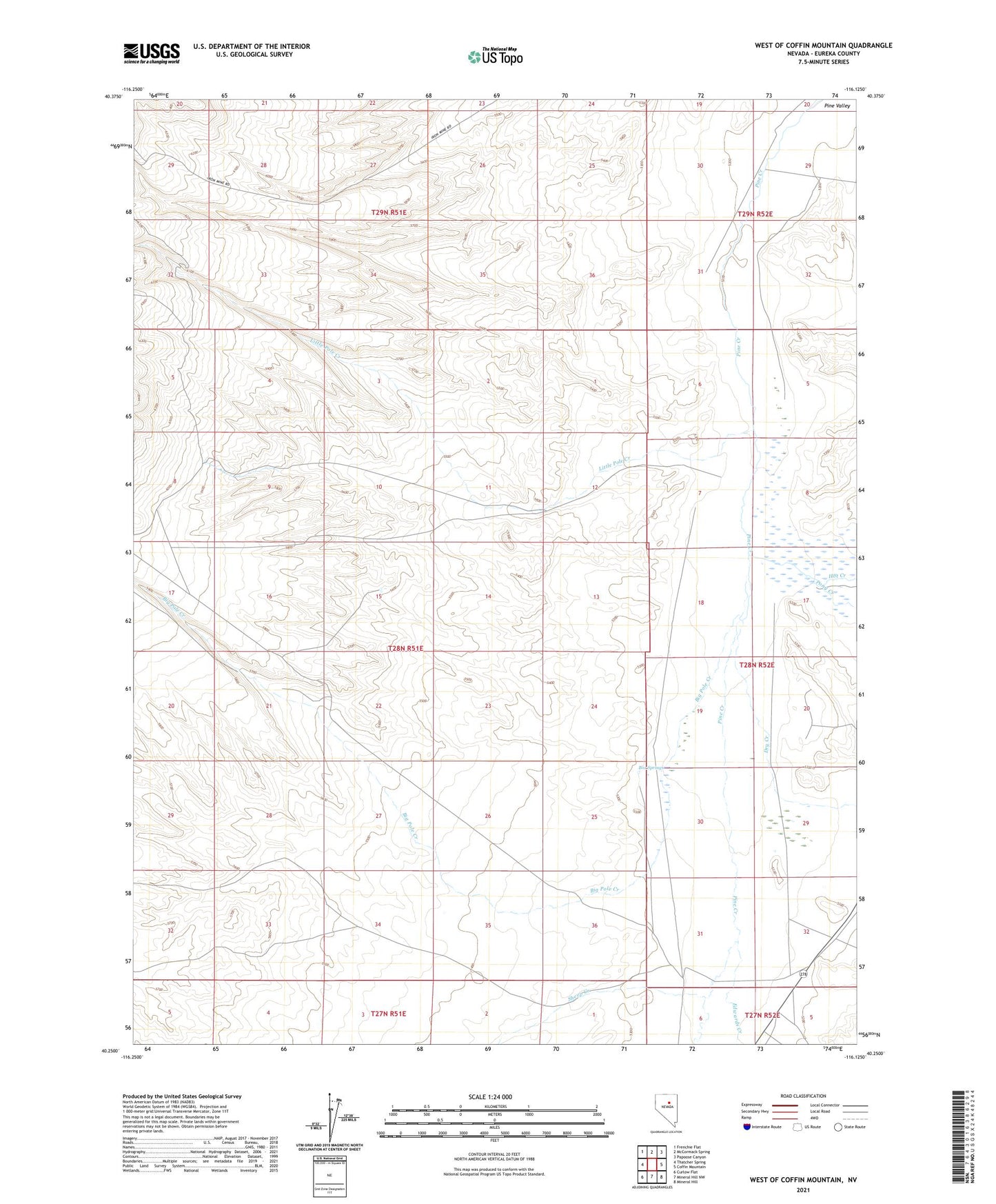
2021 topographic map quadrangle West of Coffin Mountain in the state of Nevada. Scale: 1:24000. Based on the newly updated USGS 7.5' US Topo map series, this map is in the following counties: Eureka. The map contains contour data, water features, and other items you are used to seeing on USGS maps, but also has updated roads and other features. This is the next generation of topographic maps. Printed on high-quality waterproof paper with UV fade-resistant inks.
Quads adjacent to this one:
West: Thatcher Spring
Northwest: Frenchie Flat
North: McCormack Spring
Northeast: Papoose Canyon
East: Coffin Mountain
Southeast: Mineral Hill
South: Mineral Hill NW
Southwest: Curlow Flat
Contains the following named places: Big Pole Creek, Box Springs, Dry Creek, Edwards Creek, Hot Creek, Little Pole Creek, Lodi, Pony Creek, Sheep Creek