MyTopo
White Rock Creek Nevada US Topo Map
Couldn't load pickup availability
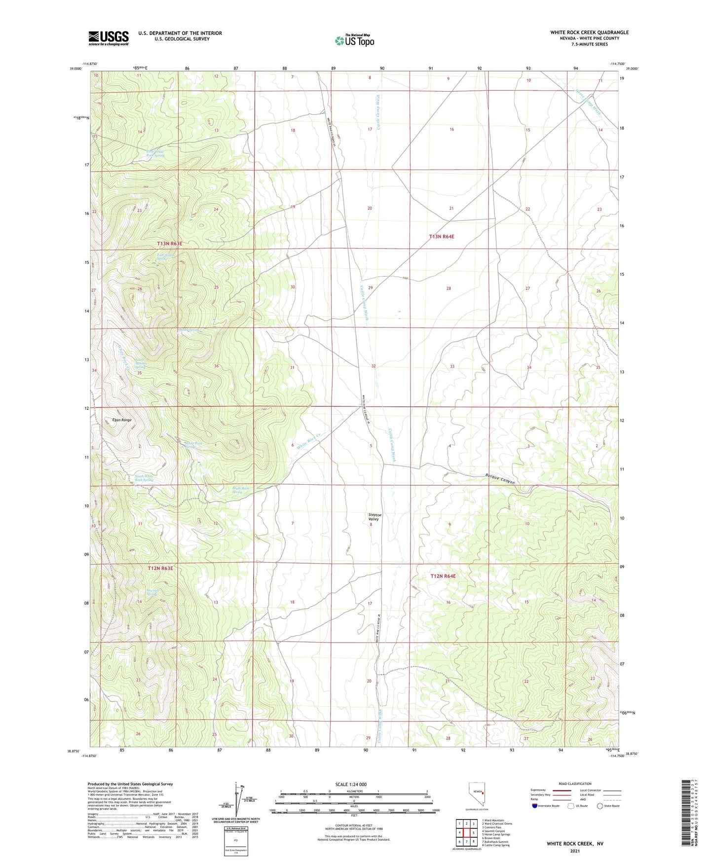
2021 topographic map quadrangle White Rock Creek in the state of Nevada. Scale: 1:24000. Based on the newly updated USGS 7.5' US Topo map series, this map is in the following counties: White Pine. The map contains contour data, water features, and other items you are used to seeing on USGS maps, but also has updated roads and other features. This is the next generation of topographic maps. Printed on high-quality waterproof paper with UV fade-resistant inks.
Quads adjacent to this one:
West: Sawmill Canyon
Northwest: Ward Mountain
North: Ward Charcoal Ovens
Northeast: Connors Pass
East: Horse Camp Springs
Southeast: Cattle Camp Spring
South: Bullwhack Summit
Southwest: Brown Knoll
Contains the following named places: Basque Canyon, Cattle Camp Wash Well, East Willow Spring, Ely Division, Horse Camp Well, Little White Rock Spring, Quaky Spring, Sawmill Spring, South Rock Spring, South Summit Spring, South White Rock Spring, White Rock Creek, White Rock Spring