MyTopo
Wichman Canyon Nevada US Topo Map
Couldn't load pickup availability
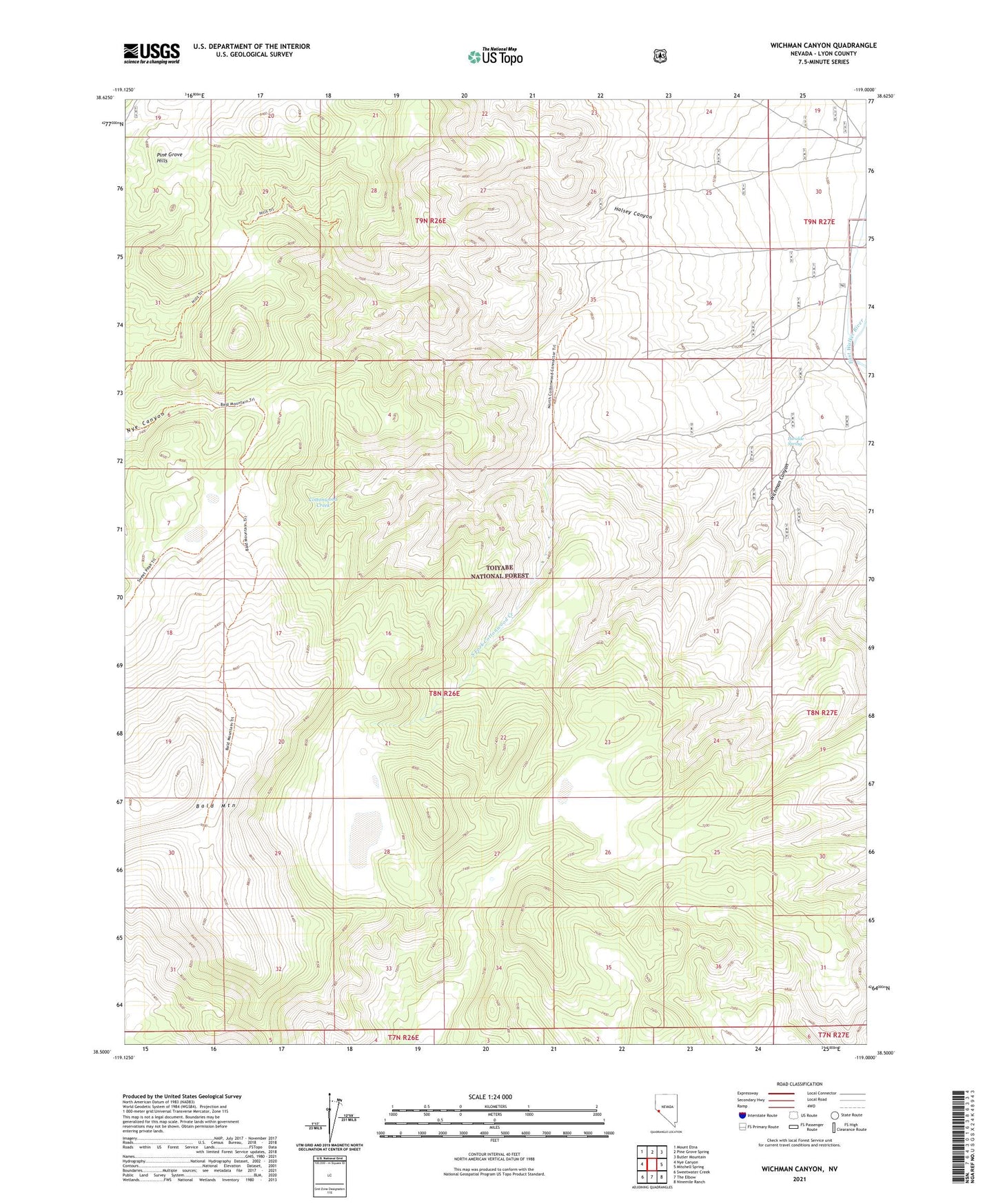
2021 topographic map quadrangle Wichman Canyon in the state of Nevada. Scale: 1:24000. Based on the newly updated USGS 7.5' US Topo map series, this map is in the following counties: Lyon. The map contains contour data, water features, and other items you are used to seeing on USGS maps, but also has updated roads and other features. This is the next generation of topographic maps. Printed on high-quality waterproof paper with UV fade-resistant inks.
Quads adjacent to this one:
West: Nye Canyon
Northwest: Mount Etna
North: Pine Grove Spring
Northeast: Butler Mountain
East: Mitchell Spring
Southeast: Ninemile Ranch
South: The Elbow
Southwest: Sweetwater Creek
Contains the following named places: Bald Mountain, Halsey Canyon, Paralde Spring, Pear Tree Mine, South Fork Cottonwood Creek, Wichman Canyon, Wovoka Wilderness