MyTopo
Winnemucca Mountain Nevada US Topo Map
Couldn't load pickup availability
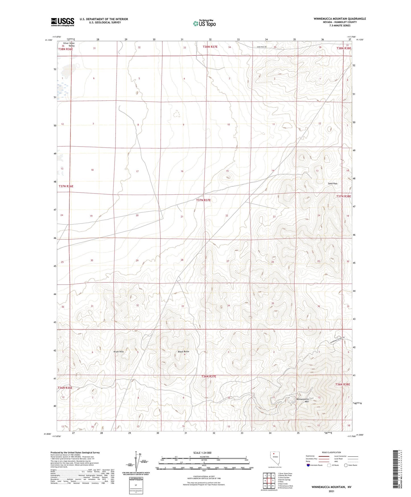
2021 topographic map quadrangle Winnemucca Mountain in the state of Nevada. Scale: 1:24000. Based on the newly updated USGS 7.5' US Topo map series, this map is in the following counties: Humboldt. The map contains contour data, water features, and other items you are used to seeing on USGS maps, but also has updated roads and other features. This is the next generation of topographic maps. Printed on high-quality waterproof paper with UV fade-resistant inks.
Quads adjacent to this one:
West: Barrett Springs
Northwest: Silver State Draw
North: Bloody Run Peak
Northeast: China Garden
East: Weso
Southeast: Winnemucca East
South: Winnemucca West
Southwest: Rose Creek
This map covers the same area as the classic USGS quad with code o41117a7.
Contains the following named places: Adamson Mine, Black Butte, CCC Well, Krum Hills, KWNA-FM (Winnemucca), Nevada Consolidated Mine, Pansy Lee Mine, Sand Pass, Shively Mine, Tobin Well, Winnemucca Air Force Station, Winnemucca Mountain