MyTopo
Cowen Hill New Hampshire US Topo Map
Couldn't load pickup availability
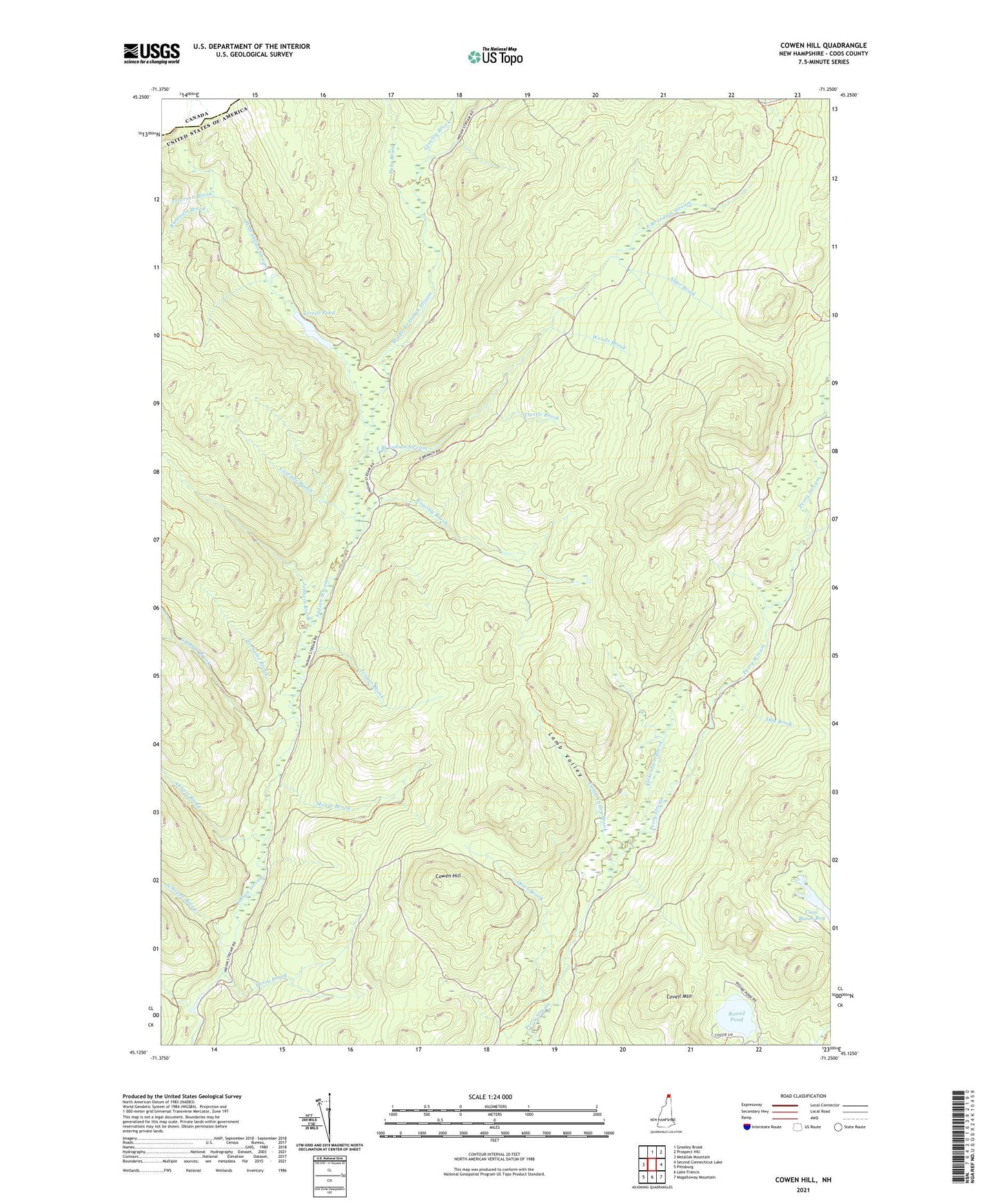
2021 topographic map quadrangle Cowen Hill in the state of New Hampshire. Scale: 1:24000. Based on the newly updated USGS 7.5' US Topo map series, this map is in the following counties: Coos. The map contains contour data, water features, and other items you are used to seeing on USGS maps, but also has updated roads and other features. This is the next generation of topographic maps. Printed on high-quality waterproof paper with UV fade-resistant inks.
Quads adjacent to this one:
West: Metallak Mountain
North: Greeley Brook
Northeast: Prospect Hill
East: Second Connecticut Lake
Southeast: Magalloway Mountain
South: Lake Francis
Southwest: Pittsburg
Contains the following named places: Abbott Brook, Alder Brook, Cascade Brook, Coon Brook Bog, Covell Mountain, Cowen Hill, Cowen Hill Camp, Day Brook, Depot Camp, Dube Brook, East Branch Indian Stream, Falkenham Brook, Falkenham Camp, Graham Brook, Greeley Brook, Holden Camp, Jobbers Brook, Klondyke Camp, Lamb Valley, Lamb Valley Brook, Leighton Brook, Middle Branch Indian Stream, Moose Brook, No Name Brook, Otter Brook, Pearley Terrill Dam, Perry Brook, Peterson Brook, Roaring Brook, Round Pond, Runcourt Brook, Schoppe Brook, Teapot Brook, Terrell Pond, Town of Pittsburg, Trestle Brook, Varney Camp, West Branch Indian Stream, West Branch of Indian Stream Reservoir, Woods Brook