MyTopo
Prospect Hill New Hampshire US Topo Map
Couldn't load pickup availability
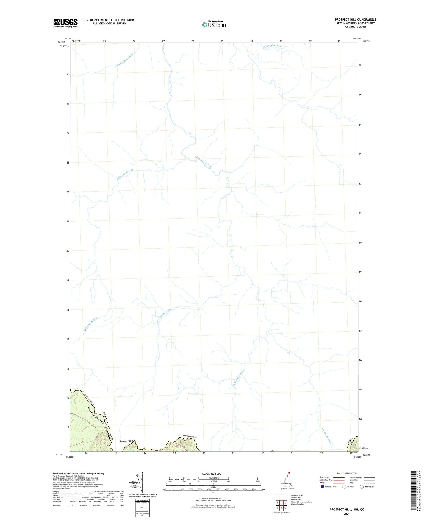
2024 topographic map quadrangle Prospect Hill in the state of New Hampshire. Scale: 1:24000. Based on the newly updated USGS 7.5' US Topo map series, this map is in the following counties: Coos. The map contains contour data, water features, and other items you are used to seeing on USGS maps, but also has updated roads and other features. This is the next generation of topographic maps. Printed on high-quality waterproof paper with UV fade-resistant inks.
Quads adjacent to this one:
West: Greeley Brook
East: Moose Bog
Southeast: Rump Mountain
South: Second Connecticut Lake
Southwest: Cowen Hill
This map covers the same area as the classic USGS quad with code o45071c2.
Contains the following named places: Prospect Hill