MyTopo
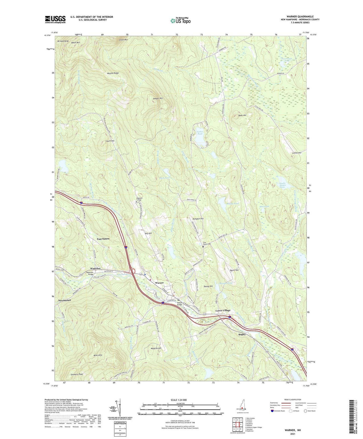
Warner New Hampshire US Topo Map
Couldn't load pickup availability
2024 topographic map quadrangle Warner in the state of New Hampshire. Scale: 1:24000. Based on the newly updated USGS 7.5' US Topo map series, this map is in the following counties: Merrimack. The map contains contour data, water features, and other items you are used to seeing on USGS maps, but also has updated roads and other features. This is the next generation of topographic maps. Printed on high-quality waterproof paper with UV fade-resistant inks.
Quads adjacent to this one:
West: Bradford
Northwest: New London
North: Andover
Northeast: Franklin
East: Webster
Southeast: Hopkinton
South: Henniker
Southwest: Hillsboro Upper Village
This map covers the same area as the classic USGS quad with code o43071c7.
Contains the following named places: Bagley, Bagley Pond, Ballard Brook, Barclay Brook, Bartlett Brook, Bean Hill, Black Mountain, Burnt Hill, Carroll State Forest, Coal Hearth Cemetery, Couch Hill, Dalton Bridge, Davis Brook, Denny Hill, Duck Pond, East Sutton, Frazier Brook, Greenough Pond, Harriman Chandler State Forest, Knight Meadow Brook, Knight Meadow Marsh Wildlife Management Area, Knights Meadow Marsh, Knights Meadow Marsh Dam, Knights Meadow Marsh Reservoir, Lake Winnepocket Dam, Leonard State Wildlife Management Area, Littles Hill, Lower Village, Lower Warner Meetinghouse, Magdalen College, Magdalen College Library, Meadow Brook, Meadow Pond, Mill Brook, Mink Hills, Mission Ridge, Mud Pond, Newmarket, Pillsbury Free Library, Pumpkin Hill, Rollins State Park, Sawyer Hill, Schoodac Brook, Scribners Corner, Silver Brook, Simonds Elementary School, Smiths Corner, Stevens Brook, Stewarts Peak, Toll Gate State Park, Tom Pond, Tory Hill, Town of Warner, Trumbull Pond, Tucker Pond, United Church of Warner, Waldron Hill, Warner, Warner Census Designated Place, Warner Cooperative Preschool, Warner Fire and Rescue Department, Warner Police Department, Warner Post Office, Waterloo, Waterloo Bridge, Willow Brook, ZIP Code: 03278


