MyTopo
Bearwallow Mountain New Mexico US Topo Map
Couldn't load pickup availability
Also explore the Bearwallow Mountain Forest Service Topo of this same quad for updated USFS data
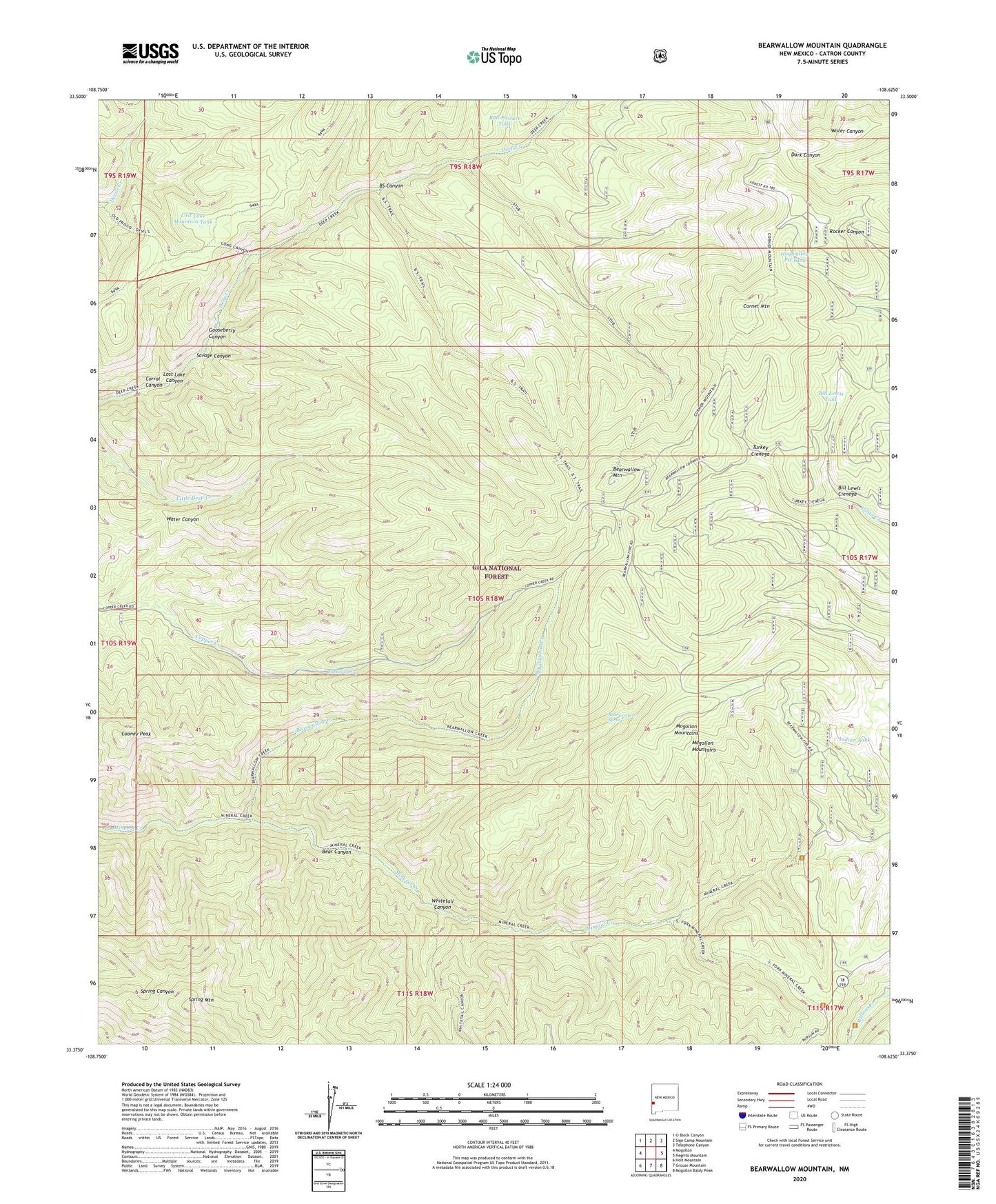
2023 topographic map quadrangle Bearwallow Mountain in the state of New Mexico. Scale: 1:24000. Based on the newly updated USGS 7.5' US Topo map series, this map is in the following counties: Catron. The map contains contour data, water features, and other items you are used to seeing on USGS maps, but also has updated roads and other features. This is the next generation of topographic maps. Printed on high-quality waterproof paper with UV fade-resistant inks.
Quads adjacent to this one:
West: Mogollon
Northwest: O Block Canyon
North: Sign Camp Mountain
Northeast: Telephone Canyon
East: Negrito Mountain
Southeast: Mogollon Baldy Peak
South: Grouse Mountain
Southwest: Holt Mountain
This map covers the same area as the classic USGS quad with code o33108d6.
Contains the following named places: Bear Canyon, Bear Canyon Spring, Bearwallow Creek, Bearwallow Lookout, Bearwallow Mountain, Bearwallow Park, Bill Lewis Cienega, Bill Lewis Tank, BS Canyon, BS Canyon Trail, Bull Pasture Tank, Cooney Peak, Corner Mountain, Corner Mountain Trail, Corral Canyon, D-K Well, Gooseberry Canyon, Hogwallow Pit Tank, Indian Tank, Lost Lake Canyon, Lost Lake Mountain Tank, Mineral Creek Trail, North Fork Mineral Creek, Old Waterman Place, Savage Canyon, South Fork Mineral Creek, Spring Mountain, Stub Trail, Trailer Cabin, Turkey Cienega, Turkey Spring, Whitetail Canyon