MyTopo
Bixler Ranch New Mexico US Topo Map
Couldn't load pickup availability
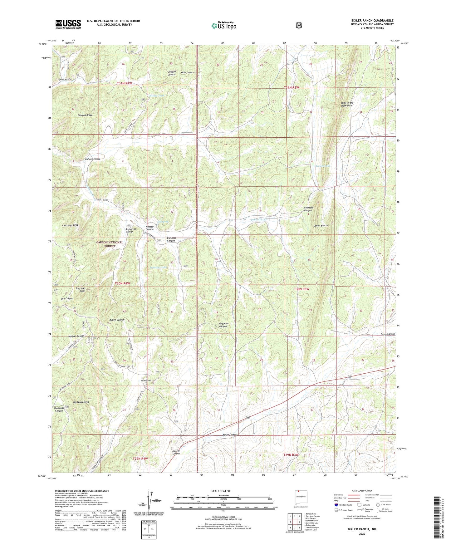
2020 topographic map quadrangle Bixler Ranch in the state of New Mexico. Scale: 1:24000. Based on the newly updated USGS 7.5' US Topo map series, this map is in the following counties: Rio Arriba. The map contains contour data, water features, and other items you are used to seeing on USGS maps, but also has updated roads and other features. This is the next generation of topographic maps. Printed on high-quality waterproof paper with UV fade-resistant inks.
Quads adjacent to this one:
West: Espinosa Ranch
Northwest: Bancos Mesa
North: Carracas Canyon
Northeast: Wirt Canyon
East: John Mills Lake
Southeast: Cement Lake
South: Leandro Canyon
Southwest: Gobernador
Contains the following named places: Augustine Canyon, Augustine Tank, Bancos Lake, Bixler Ranch, Burns Canyon, Burns Canyon Water Well, Caberesto Water Well, Calvin Veneno Water Well, Canon Chicosa, Chicosa Ridge, Chicosa Tank, Espinosa Canyon, Farm C-142 Water Well, Hole-in-the-Rock-Dike, Lynch Ranch, Maestas Canyon, Manuel Tank, Marcial Canyon, Marcial Tank, Mud Spring, Preacher Tank, Reseeding Tank, Rincon Tank, San Juan Basin, San Juan Basin Historical Marker, Vanqueras Post Office, Vaqueros, Vaqueros Cabin