MyTopo
Cement Lake New Mexico US Topo Map
Couldn't load pickup availability
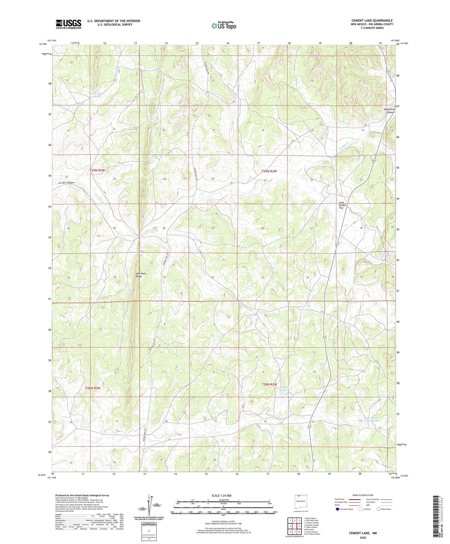
2023 topographic map quadrangle Cement Lake in the state of New Mexico. Scale: 1:24000. Based on the newly updated USGS 7.5' US Topo map series, this map is in the following counties: Rio Arriba. The map contains contour data, water features, and other items you are used to seeing on USGS maps, but also has updated roads and other features. This is the next generation of topographic maps. Printed on high-quality waterproof paper with UV fade-resistant inks.
Quads adjacent to this one:
West: Leandro Canyon
Northwest: Bixler Ranch
North: John Mills Lake
Northeast: Cordova Canyon
East: Cedar Canyon
Southeast: Los Indios Canyon
South: Leavry Canyon
Southwest: Pine Lake
This map covers the same area as the classic USGS quad with code o36107f1.
Contains the following named places: Bia 16 Water Well, Cement Lake, Dike Rock Ridge, Jicarilla Apache Division, Juan Vigil Pond, La Jara Lake Dam, Long Bridge Flat, Lower Burro Canyon Well, Navajo Lake, Pounds, Pounds Mill Guard Station, Range Unit 38 Water Well, Skid Camp Pond, Telephone Canyon, Upper Burro Canyon Pond, Upper Burro Canyon Well