MyTopo
Blind Gap New Mexico US Topo Map
Couldn't load pickup availability
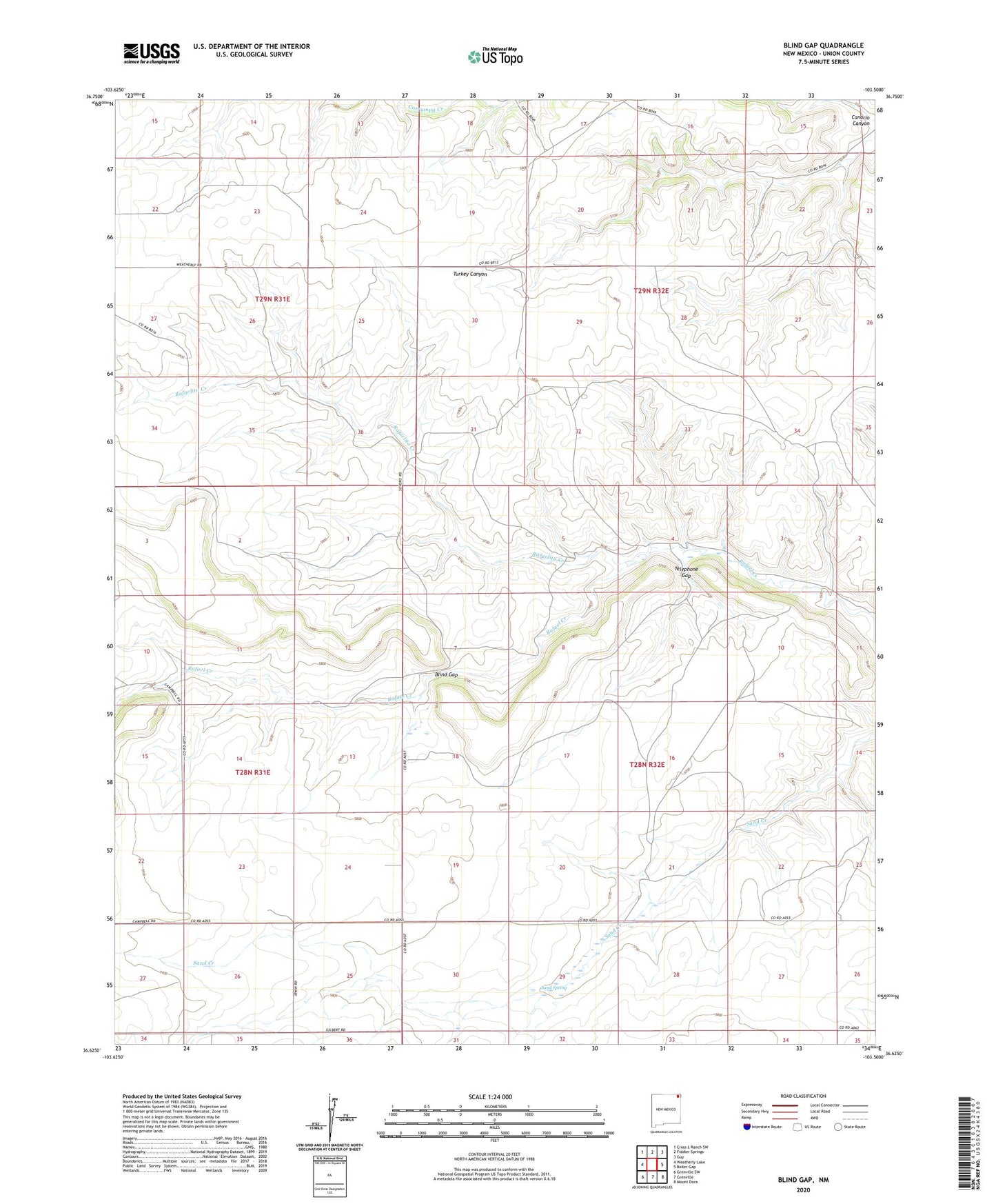
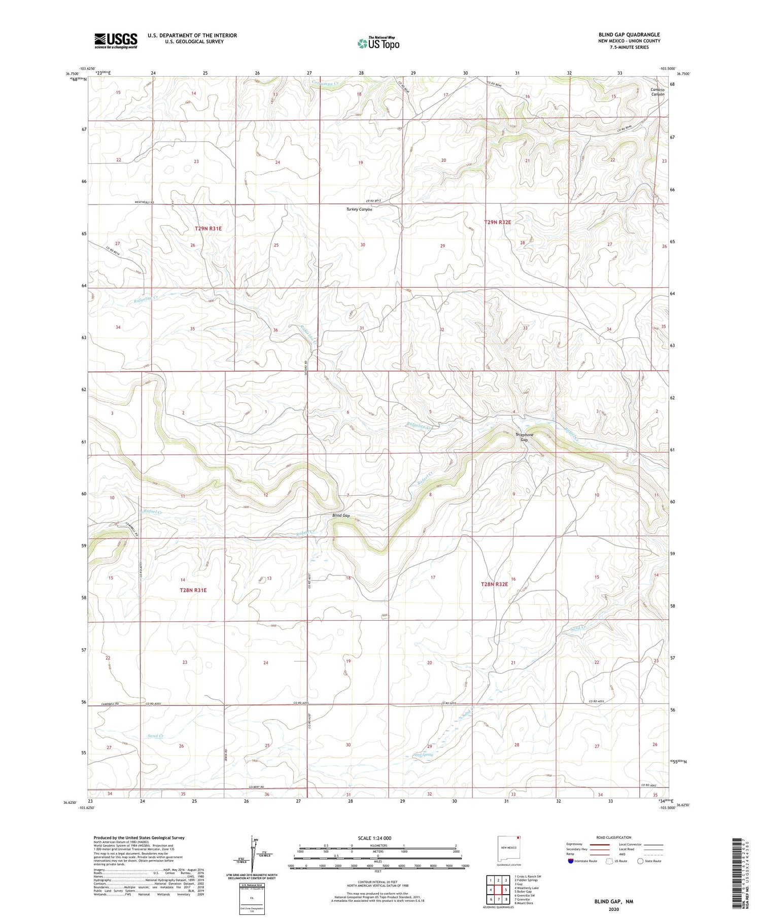
2020 topographic map quadrangle Blind Gap in the state of New Mexico. Scale: 1:24000. Based on the newly updated USGS 7.5' US Topo map series, this map is in the following counties: Union. The map contains contour data, water features, and other items you are used to seeing on USGS maps, but also has updated roads and other features. This is the next generation of topographic maps. Printed on high-quality waterproof paper with UV fade-resistant inks.
Quads adjacent to this one:
West: Weatherly Lake
Northwest: Cross L Ranch SW
North: Fiddler Springs
Northeast: Guy
East: Boiler Gap
Southeast: Mount Dora
South: Grenville
Southwest: Grenville SW
Contains the following named places: Blind Gap, Canario Canyon, Clayton North Division, Rafaelito Creek, Sand Spring, Smith Airport, Telephone Gap