MyTopo
Guy New Mexico US Topo Map
Couldn't load pickup availability
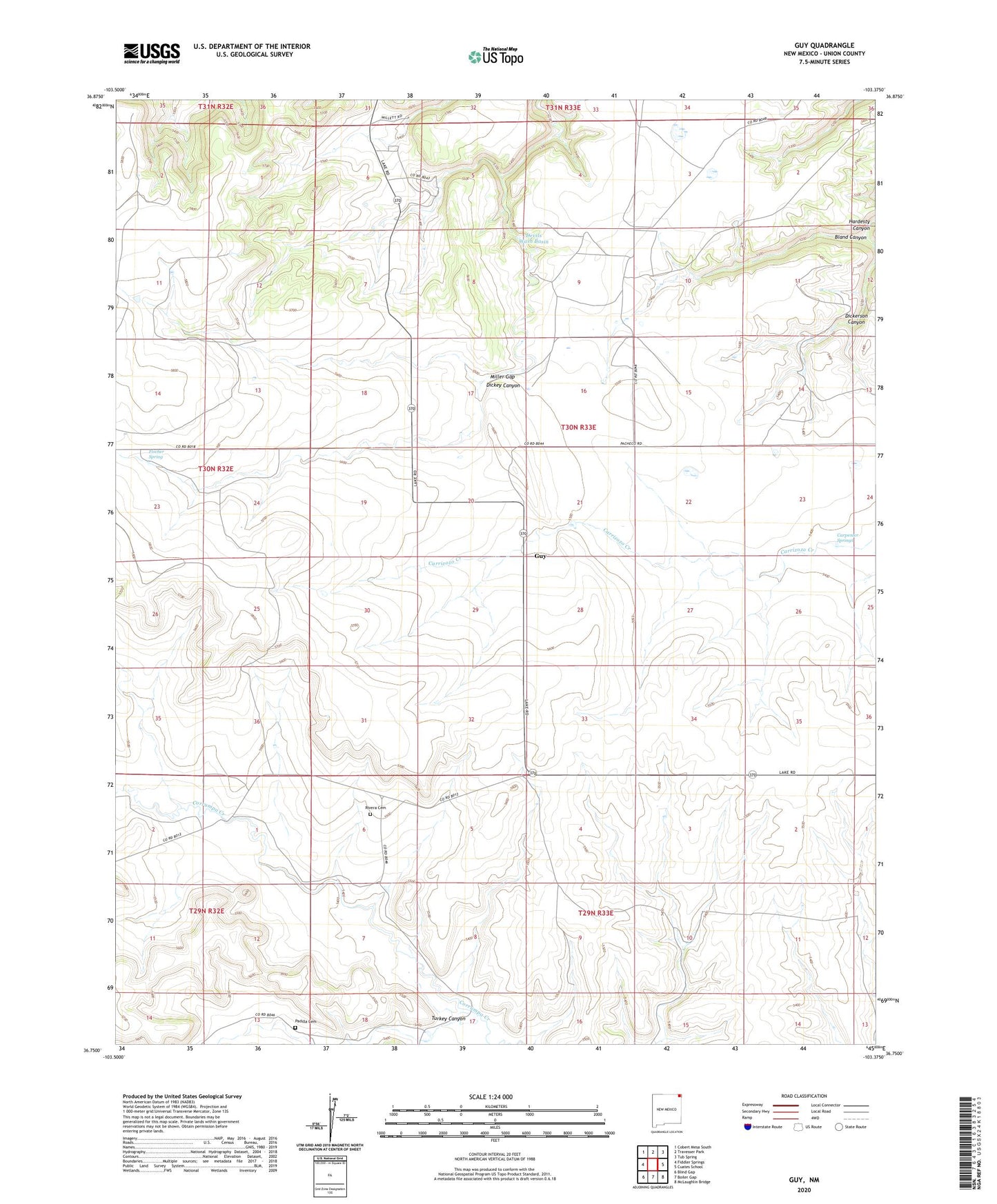
2023 topographic map quadrangle Guy in the state of New Mexico. Scale: 1:24000. Based on the newly updated USGS 7.5' US Topo map series, this map is in the following counties: Union. The map contains contour data, water features, and other items you are used to seeing on USGS maps, but also has updated roads and other features. This is the next generation of topographic maps. Printed on high-quality waterproof paper with UV fade-resistant inks.
Quads adjacent to this one:
West: Fiddler Springs
Northwest: Cobert Mesa South
North: Travesser Park
Northeast: Tub Spring
East: Cuates School
Southeast: McLaughlin Bridge
South: Boiler Gap
Southwest: Blind Gap
This map covers the same area as the classic USGS quad with code o36103g4.
Contains the following named places: Bland Canyon, Carpenter Springs, Devils Wash Basin, Dickerson Canyon, Fischer Spring, Guy, Guy Post Office, Hardesty Canyon, Miller Gap, Padilla Cemetery, Rivera Cemetery, SHD, Turkey Canyon