MyTopo
Box Lake New Mexico US Topo Map
Couldn't load pickup availability
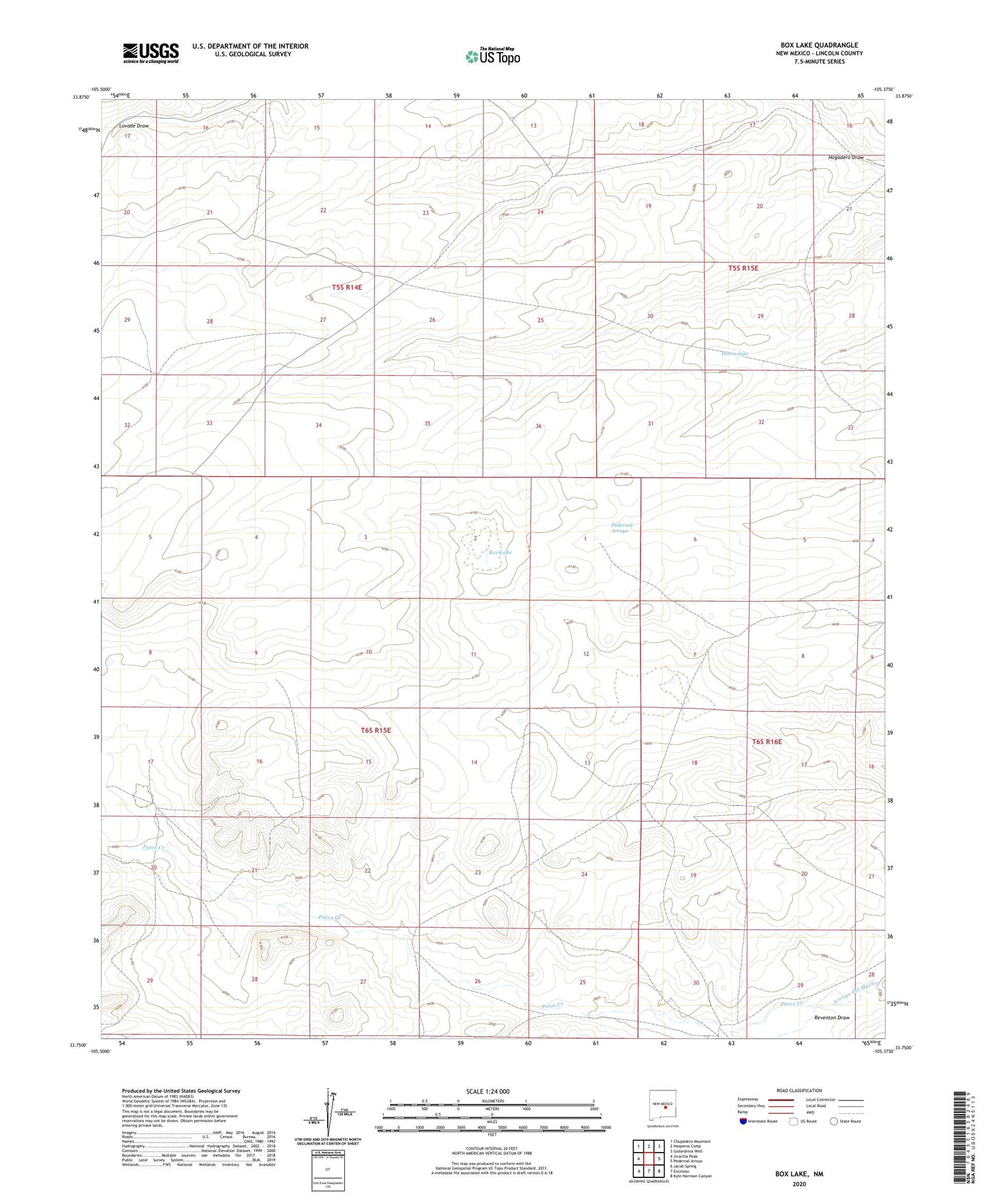
2023 topographic map quadrangle Box Lake in the state of New Mexico. Scale: 1:24000. Based on the newly updated USGS 7.5' US Topo map series, this map is in the following counties: Lincoln. The map contains contour data, water features, and other items you are used to seeing on USGS maps, but also has updated roads and other features. This is the next generation of topographic maps. Printed on high-quality waterproof paper with UV fade-resistant inks.
Quads adjacent to this one:
West: Jicarilla Peak
Northwest: Chupadero Mountain
North: Hasperos Camp
Northeast: Golondrina Well
East: Pedernal Arroyo
Southeast: Kyle Harrison Canyon
South: Encinoso
Southwest: Jacob Spring
This map covers the same area as the classic USGS quad with code o33105g4.
Contains the following named places: 7-11 Well, Box Lake, Horse lake, Lutz Lake, Patos Creek, Reventon Draw