MyTopo
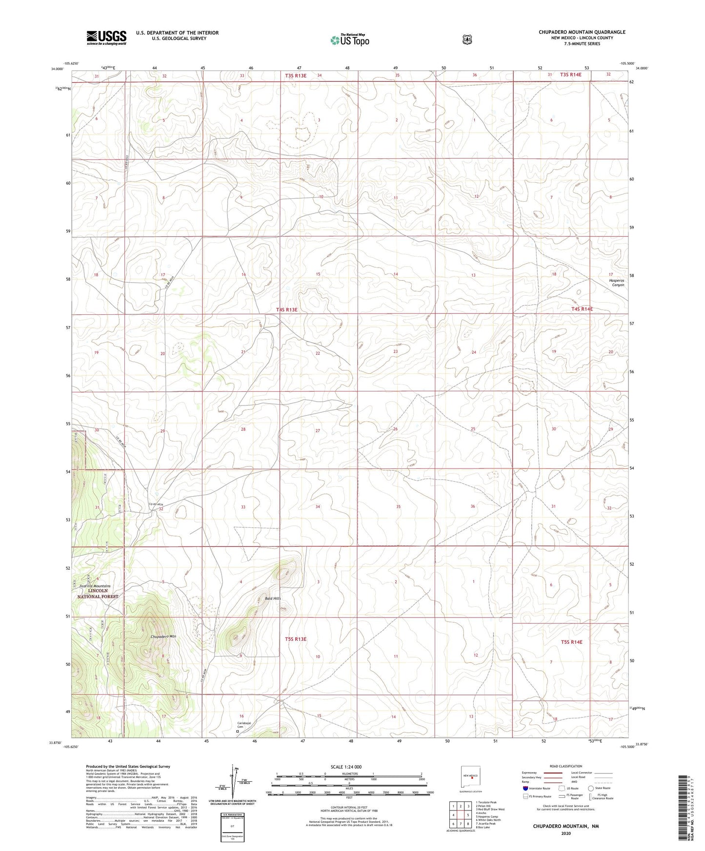
Chupadero Mountain New Mexico US Topo Map
Couldn't load pickup availability
Also explore the Chupadero Mountain Forest Service Topo of this same quad for updated USFS data
2023 topographic map quadrangle Chupadero Mountain in the state of New Mexico. Scale: 1:24000. Based on the newly updated USGS 7.5' US Topo map series, this map is in the following counties: Lincoln. The map contains contour data, water features, and other items you are used to seeing on USGS maps, but also has updated roads and other features. This is the next generation of topographic maps. Printed on high-quality waterproof paper with UV fade-resistant inks.
Quads adjacent to this one:
West: Ancho
Northwest: Tecolote Peak
North: Pelon Hill
Northeast: Red Bluff Draw West
East: Hasperos Camp
Southeast: Box Lake
South: Jicarilla Peak
Southwest: White Oaks North
This map covers the same area as the classic USGS quad with code o33105h5.
Contains the following named places: Bald Hills, Carrabajal Cemetery, Chupadero Mountain, Gnatkowski Ranch, Soda Windmill, South Windmill