MyTopo
Buckeye NW New Mexico US Topo Map
Couldn't load pickup availability
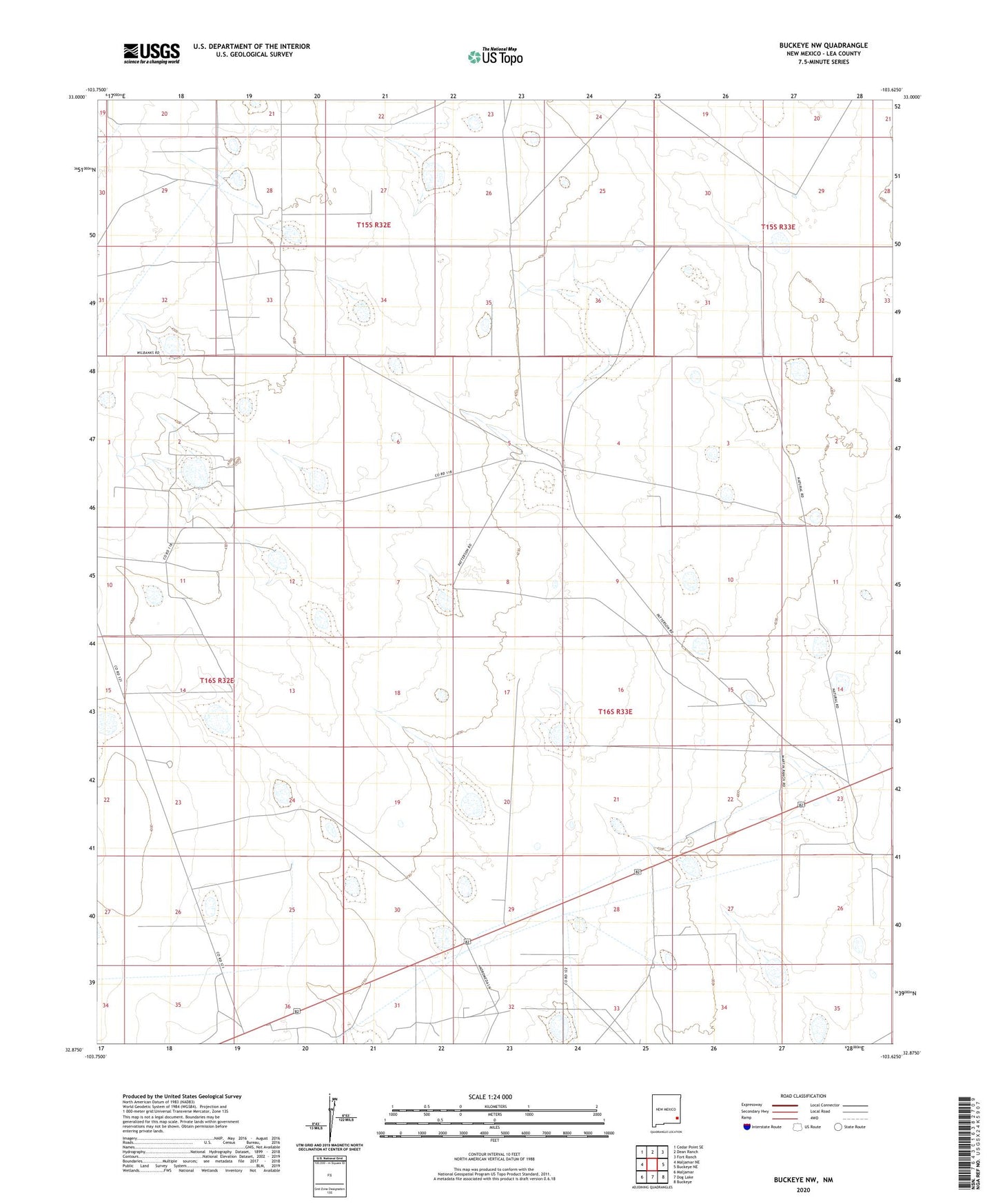
2023 topographic map quadrangle Buckeye NW in the state of New Mexico. Scale: 1:24000. Based on the newly updated USGS 7.5' US Topo map series, this map is in the following counties: Lea. The map contains contour data, water features, and other items you are used to seeing on USGS maps, but also has updated roads and other features. This is the next generation of topographic maps. Printed on high-quality waterproof paper with UV fade-resistant inks.
Quads adjacent to this one:
West: Maljamar NE
Northwest: Cedar Point SE
North: Dean Ranch
Northeast: Fort Ranch
East: Buckeye NE
Southeast: Buckeye
South: Dog Lake
Southwest: Maljamar
This map covers the same area as the classic USGS quad with code o32103h6.
Contains the following named places: 11047 Water Well, 11048 Water Well, 11049 Water Well, 11052 Water Well, 11053 Water Well, 11054 Water Well, 11055 Water Well, 11058 Water Well, 11059 Water Well, 11062 Water Well, 11064 Water Well, 11065 Water Well, 11066 Water Well, 11067 Water Well, 11068 Water Well, 11069 Water Well, 11072 Water Well, 11074 Water Well, 11075 Water Well, 11076 Water Well, 11078 Water Well, 11079 Water Well, 11430 Water Well, 11431 Water Well, 12374 Water Well, 12376 Water Well, 12377 Water Well, 12378 Water Well, 12379 Water Well, 12380 Water Well, 12394 Water Well, 12661 Water Well, 12662 Water Well, 12663 Water Well, 12753 Water Well, 12754 Water Well, 12762 Water Well, 12763 Water Well, 12765 Water Well, 12768 Water Well, 13213 Water Well, 13308 Water Well, 13316 Water Well, 13317 Water Well, 13318 Water Well, 13320 Water Well, 13321 Water Well, 13326 Water Well, 88264, Bulltrap Windmill, East Anderson Oil Field, East Windmill, Edson Ranch, KWMW-FM (Maljamar), Martin Ranch, Paschall Ranch, South Saunders Oil Field, West Windmill, Williams Ranch


