MyTopo
Maljamar New Mexico US Topo Map
Couldn't load pickup availability
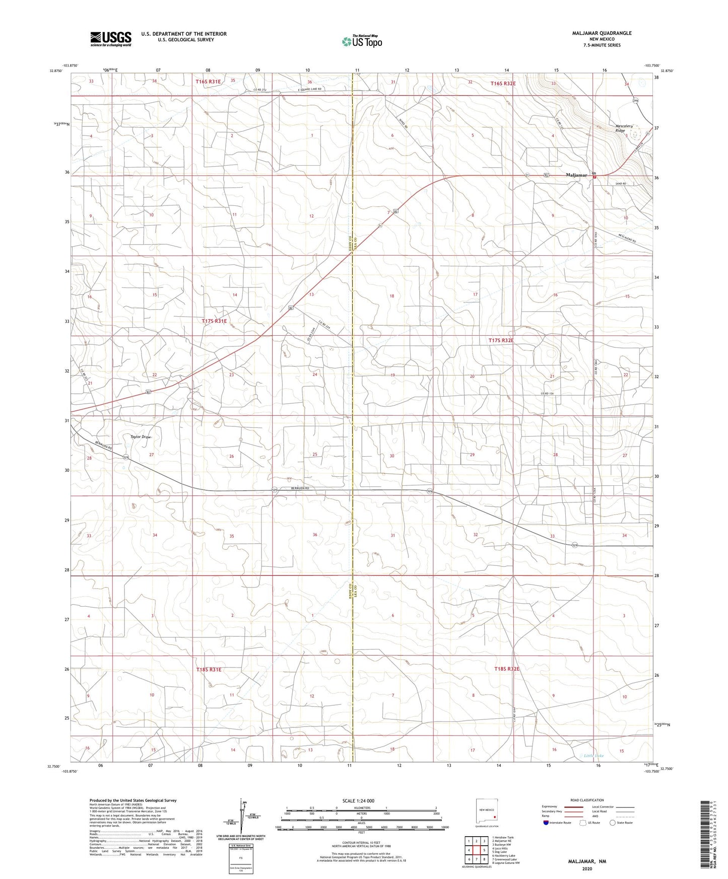
2023 topographic map quadrangle Maljamar in the state of New Mexico. Scale: 1:24000. Based on the newly updated USGS 7.5' US Topo map series, this map is in the following counties: Eddy, Lea. The map contains contour data, water features, and other items you are used to seeing on USGS maps, but also has updated roads and other features. This is the next generation of topographic maps. Printed on high-quality waterproof paper with UV fade-resistant inks.
Quads adjacent to this one:
West: Loco Hills
Northwest: Henshaw Tank
North: Maljamar NE
Northeast: Buckeye NW
East: Dog Lake
Southeast: Laguna Gatuna NW
South: Greenwood Lake
Southwest: Hackberry Lake
This map covers the same area as the classic USGS quad with code o32103g7.
Contains the following named places: Baish Oil Field, Banish Oil Well Number One Historic Site, Burro Tanks Site, Highway Well, Little Lake, Maljamar, Maljamar Post Office, Maljamar Volunteer Fire Department, Maljamar Weather Station, North Maljamar Oil Field, North Shugart Oil Field, Taylor Draw, Taylor Peak Site, Young Oil Field