MyTopo
Caliente Canyon North New Mexico US Topo Map
Couldn't load pickup availability
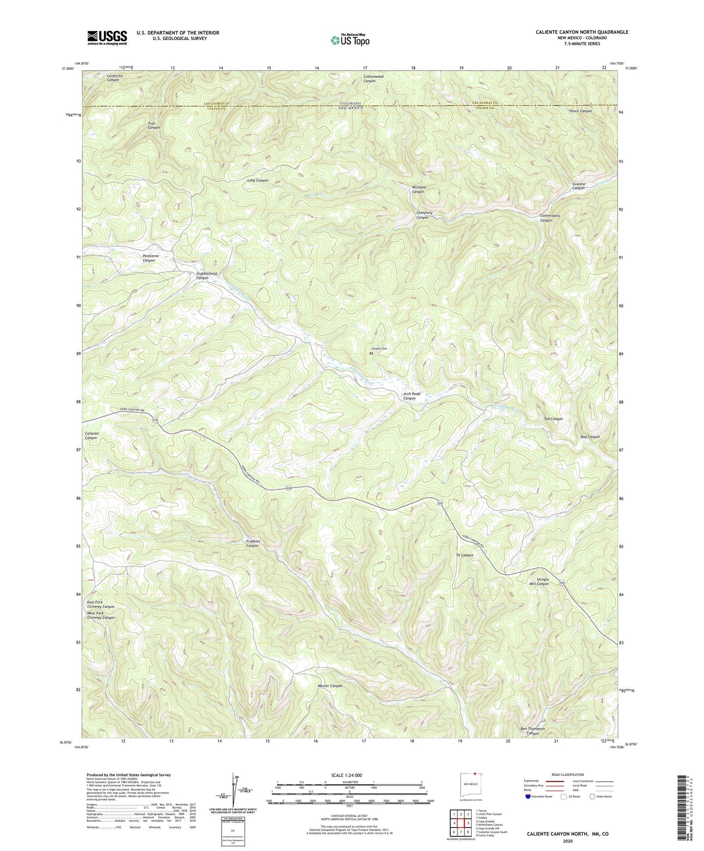
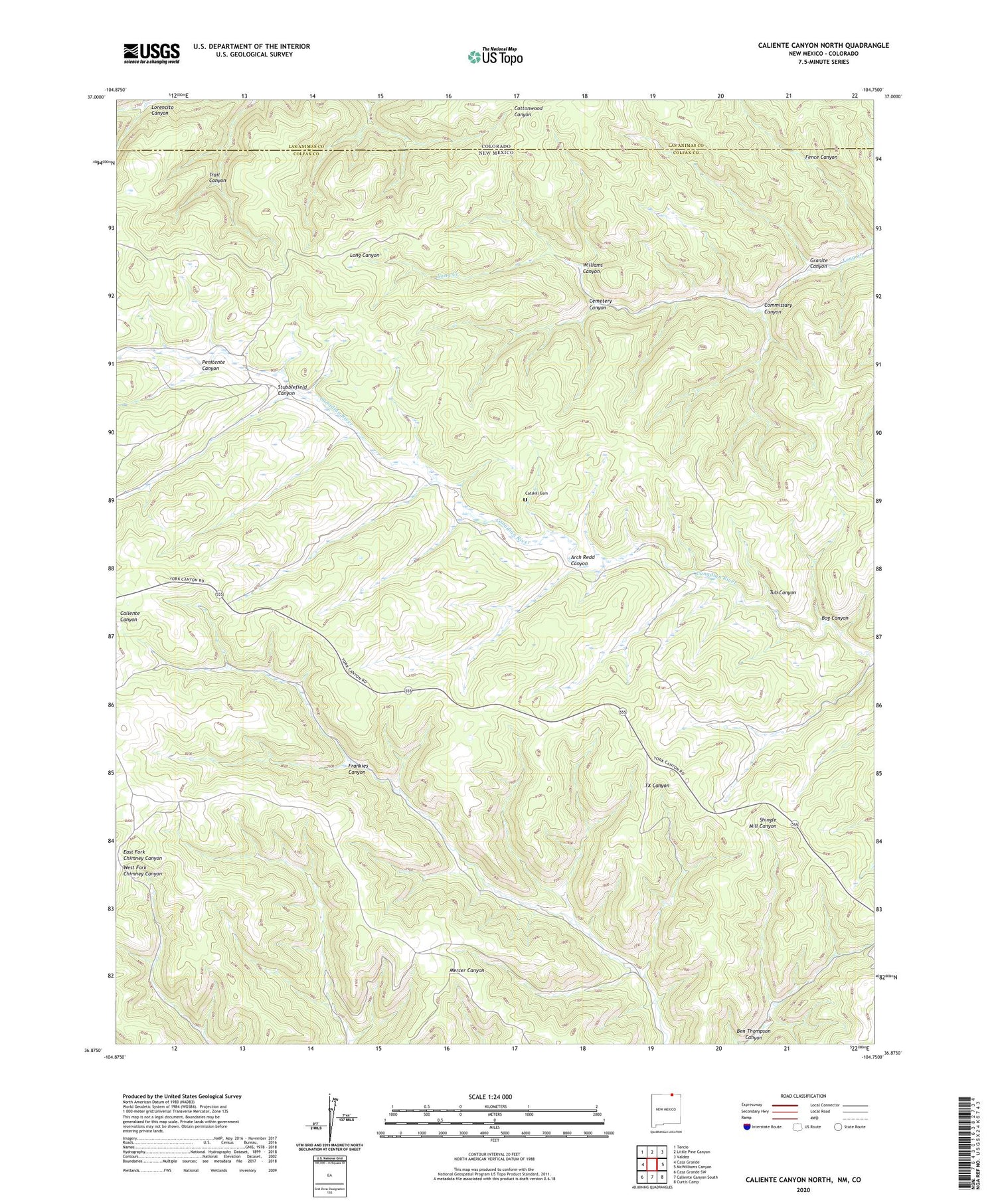
2020 topographic map quadrangle Caliente Canyon North in the state of New Mexico. Scale: 1:24000. Based on the newly updated USGS 7.5' US Topo map series, this map is in the following counties: Colfax, Las Animas. The map contains contour data, water features, and other items you are used to seeing on USGS maps, but also has updated roads and other features. This is the next generation of topographic maps. Printed on high-quality waterproof paper with UV fade-resistant inks.
Quads adjacent to this one:
West: Casa Grande
Northwest: Tercio
North: Little Pine Canyon
Northeast: Valdez
East: McWilliams Canyon
Southeast: Curtis Camp
South: Caliente Canyon South
Southwest: Casa Grande SW
Contains the following named places: Arch Redd Canyon, Armstrong Camp, Bog Canyon, Catskill, Catskill Cemetery, Catskill Post Office, Cemetery Canyon, Commissary Canyon, Frankies Canyon, Granite Canyon, Parsons Ranch, Penitente Canyon, Stubblefield Canyon, Tub Canyon, Williams Canyon