MyTopo
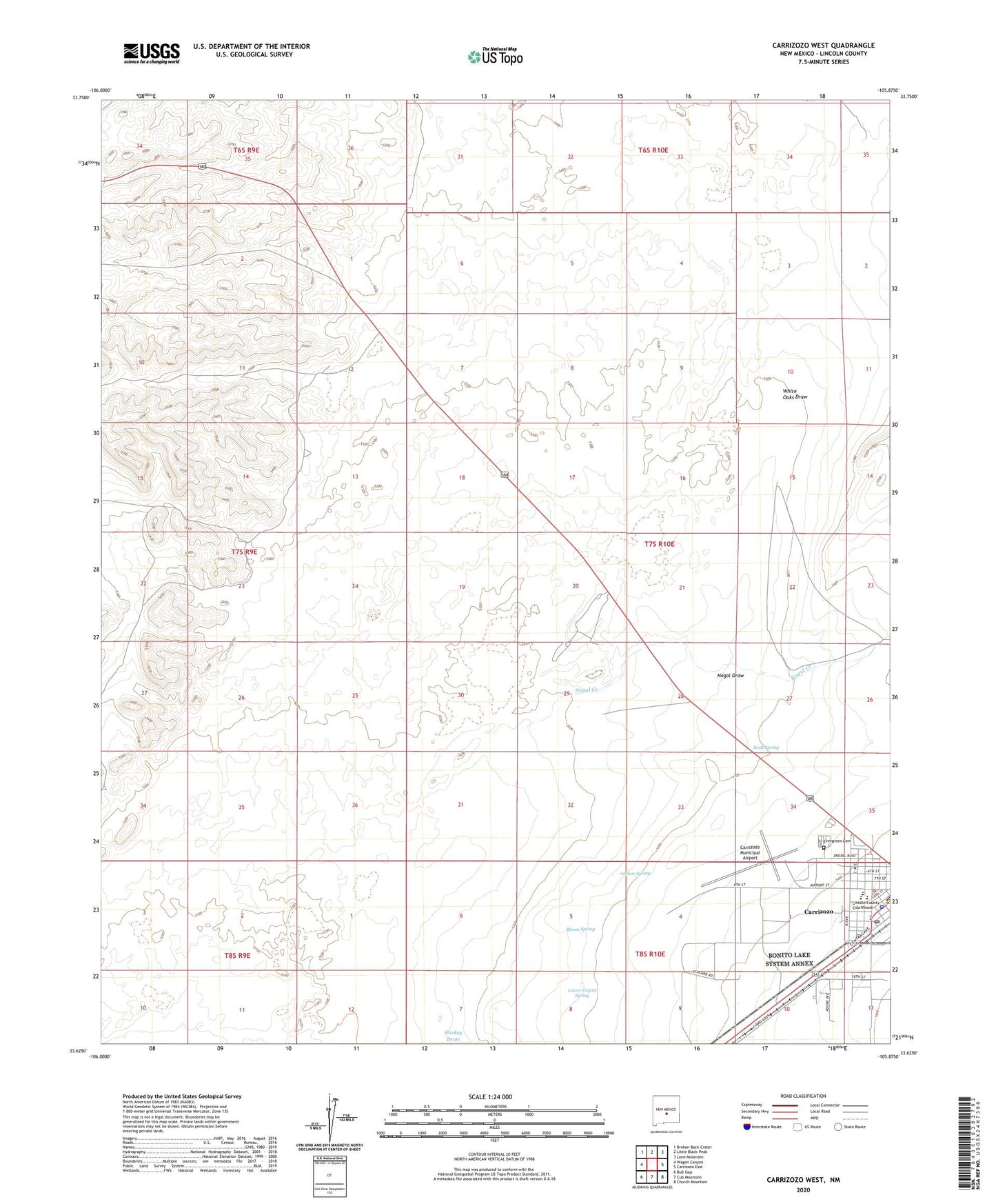
Carrizozo West New Mexico US Topo Map
Couldn't load pickup availability
Also explore the Carrizozo West Forest Service Topo of this same quad for updated USFS data
2023 topographic map quadrangle Carrizozo West in the state of New Mexico. Scale: 1:24000. Based on the newly updated USGS 7.5' US Topo map series, this map is in the following counties: Lincoln. The map contains contour data, water features, and other items you are used to seeing on USGS maps, but also has updated roads and other features. This is the next generation of topographic maps. Printed on high-quality waterproof paper with UV fade-resistant inks.
Quads adjacent to this one:
West: Wagon Canyon
Northwest: Broken Back Crater
North: Little Black Peak
Northeast: Lone Mountain
East: Carrizozo East
Southeast: Church Mountain
South: Cub Mountain
Southwest: Bull Gap
This map covers the same area as the classic USGS quad with code o33105f8.
Contains the following named places: Anchor Spring, Assembly of God Church, Bloom Spring, Carrizoza Health Center, Carrizozo, Carrizozo Elementary School, Carrizozo High School, Carrizozo Historical Marker, Carrizozo Middle School, Carrizozo Municipal Airport, Carrizozo Police Department, Carrizozo Post Office, Carrizozo Weather Station, Christian Science of Lincoln Church, Church of Christ, Evergreen Cemetery, First Baptist Church, Harkey Prospect, L M and M Mill, Lincoln County Emergency Medical Services Carrizozo Station, Lincoln County Sheriff's Office, Lower Coyote Spring, Malpais-Valley of Fires Historical Marker, Nogal Creek, Nogal Draw, Saint Matthias Episcopal Church, Santa Rita Catholic Church, Scott Spring, The Malpais, Trinity Church, Valley of Fires State Park, Western Hotel, White Oaks Draw


