MyTopo
Wagon Canyon New Mexico US Topo Map
Couldn't load pickup availability
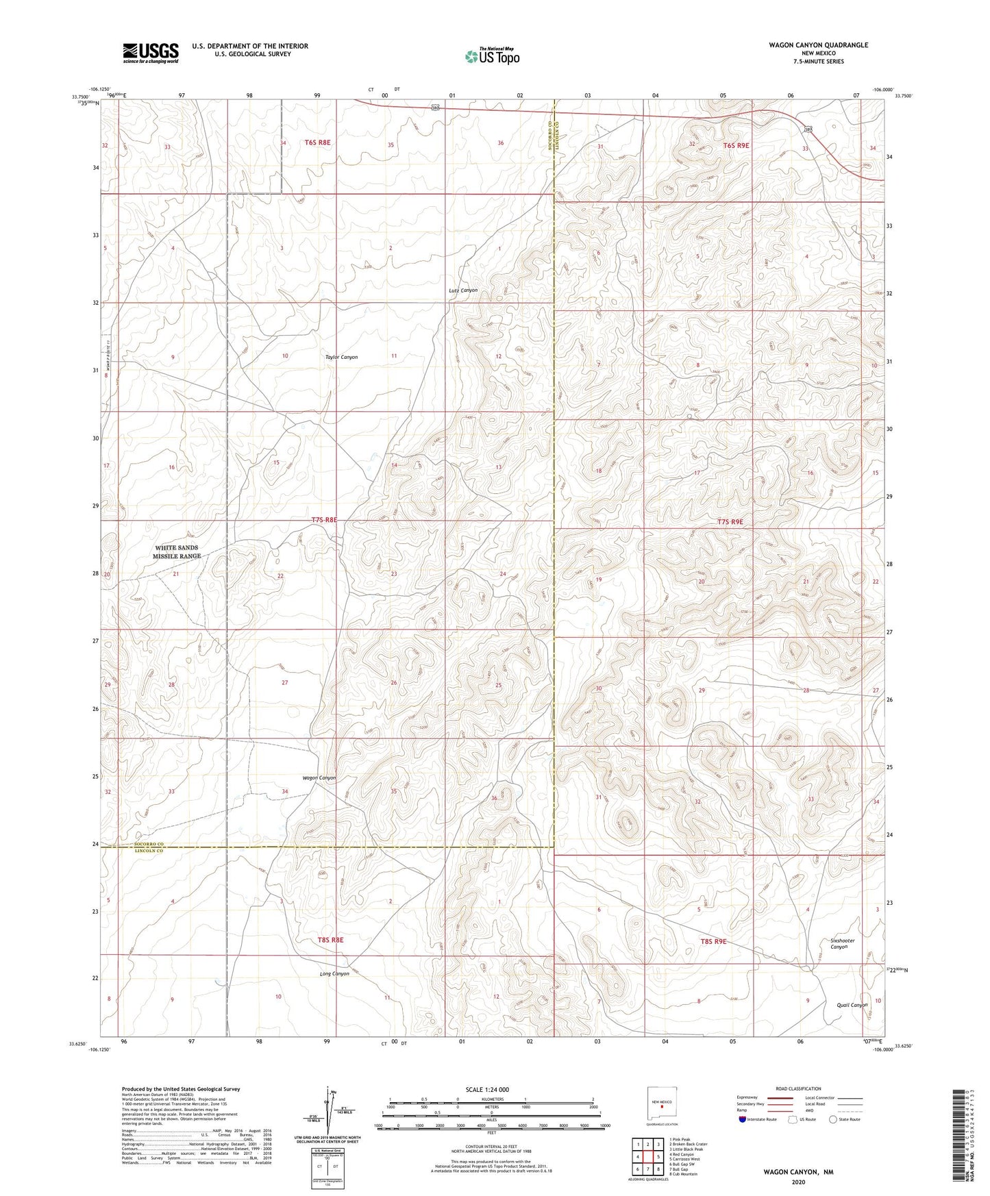
2023 topographic map quadrangle Wagon Canyon in the state of New Mexico. Scale: 1:24000. Based on the newly updated USGS 7.5' US Topo map series, this map is in the following counties: Lincoln, Socorro. The map contains contour data, water features, and other items you are used to seeing on USGS maps, but also has updated roads and other features. This is the next generation of topographic maps. Printed on high-quality waterproof paper with UV fade-resistant inks.
Quads adjacent to this one:
West: Red Canyon
Northwest: Pink Peak
North: Broken Back Crater
Northeast: Little Black Peak
East: Carrizozo West
Southeast: Cub Mountain
South: Bull Gap
Southwest: Bull Gap SW
This map covers the same area as the classic USGS quad with code o33106f1.
Contains the following named places: Barnes Ranch, Butler Tank, Double Tank, Juan Farmer Tank, Long Canyon, Lutz Canyon, M S Crockett Tank, Murray Well, Panther Tank, Pop Jackson Tank, Quail Canyon, Quail Tank, Rentfro Junior Tank, Rentfro Tank Number 2, Rentfro Well, Sand Tank, Sandy Tank, Sixshooter Canyon, Sixshooter Tank, Stark Tank, Taylor Canyon, W H Shrum Tank, Wagon Canyon, Walker Tank, White Tank