MyTopo
Chilili New Mexico US Topo Map
Couldn't load pickup availability
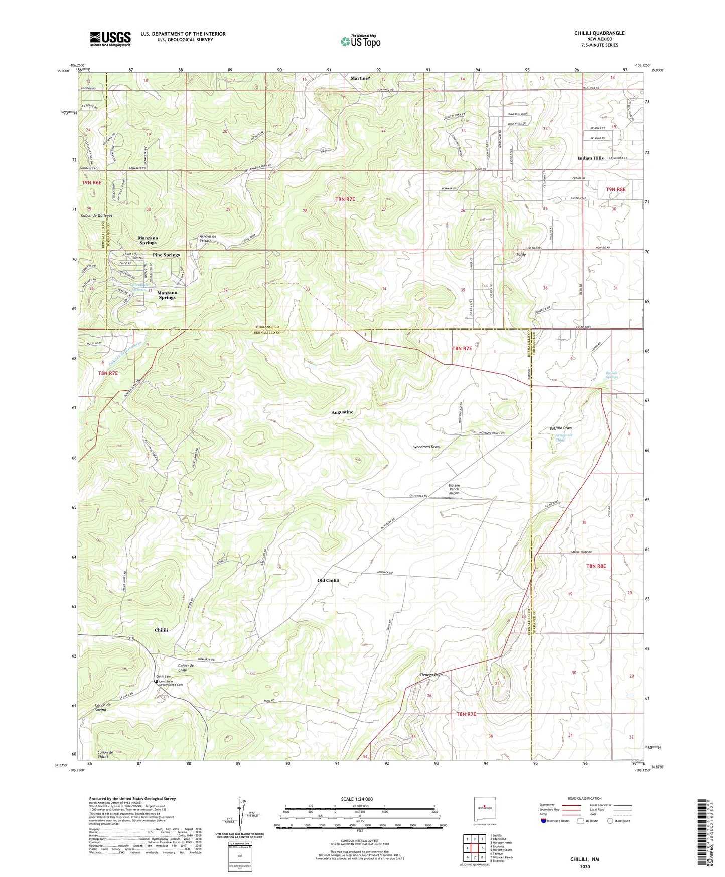
2023 topographic map quadrangle Chilili in the state of New Mexico. Scale: 1:24000. Based on the newly updated USGS 7.5' US Topo map series, this map is in the following counties: Bernalillo, Torrance. The map contains contour data, water features, and other items you are used to seeing on USGS maps, but also has updated roads and other features. This is the next generation of topographic maps. Printed on high-quality waterproof paper with UV fade-resistant inks.
Quads adjacent to this one:
West: Escabosa
Northwest: Sedillo
North: Edgewood
Northeast: Moriarty North
East: Moriarty South
Southeast: Estancia
South: Milbourn Ranch
Southwest: Tajique
This map covers the same area as the classic USGS quad with code o34106h2.
Contains the following named places: 080712224 Water Well, 080729322 Water Well, 090626244 Water Well, 116 Water Well, 120 Water Well, 121 Water Well, 20A Water Well, 310 Water Well, Arroyo de Chilili, Arroyo de Yrisarri, Augustine, Augustine Post Office, Baldy, Ballinger Ranch, Biplane Ranch Airport, Buffalo Springs, C Davis Place Census Designated Place, Canada de Escabosa, Canon de Chilili, Canon de Savina, Chilili, Chilili Cemetery, Chilili Census Designated Place, Chilili Grant, Chilili Post Office, Clark Ranch, Danvik Place, Dean Ranch, Dunn Place, E-1439 Water Well, E-2175 Water Well, E-4151 Water Well, Indian Hills Census Designated Place, Ku Archaeological District, Manzano Springs, Manzano Springs Census Designated Place, Marsh Ranch, Martinez, Martinez Post Office, Old Chilili, Pine Springs, Saint John Nepomucene Cemetery, Thompson Place