MyTopo
Wire Lake New Mexico US Topo Map
Couldn't load pickup availability
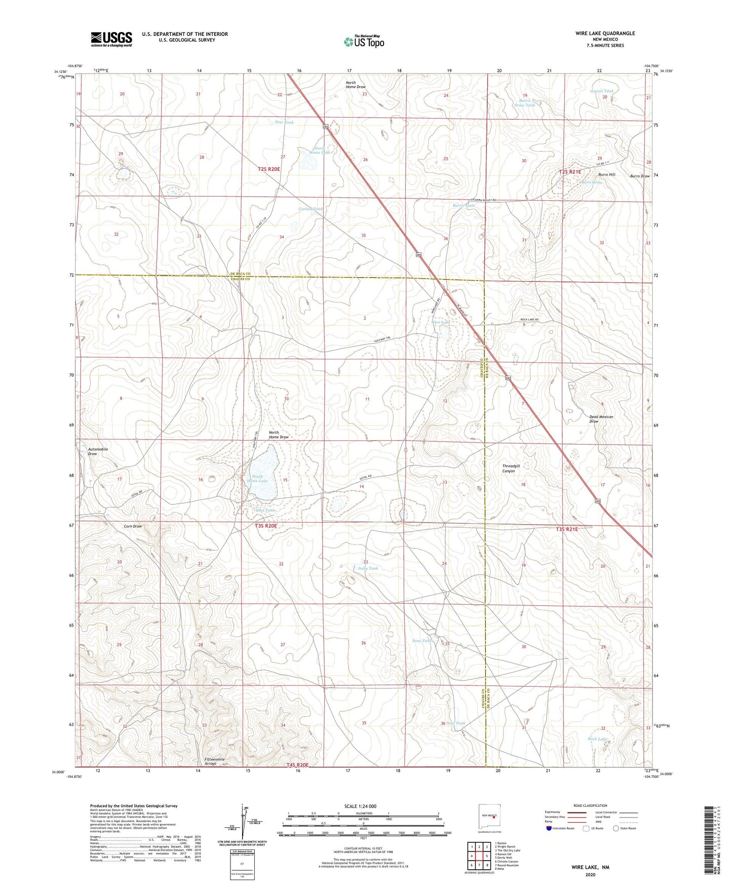
2023 topographic map quadrangle Wire Lake in the state of New Mexico. Scale: 1:24000. Based on the newly updated USGS 7.5' US Topo map series, this map is in the following counties: Chaves, De Baca. The map contains contour data, water features, and other items you are used to seeing on USGS maps, but also has updated roads and other features. This is the next generation of topographic maps. Printed on high-quality waterproof paper with UV fade-resistant inks.
Quads adjacent to this one:
West: Ramon SW
Northwest: Ramon
North: Wright Ranch
Northeast: The Old Dry Lake
East: Devils Well
Southeast: Mesa
South: Round Mountain
Southwest: Chivata Canyon
This map covers the same area as the classic USGS quad with code o34104a7.
Contains the following named places: Automobile Draw, Boot Ranch, Burro Draw Tank, Burro Hill, Burro Spring, Burro Tank, Casaus Lake, Corn Draw, Corona Tank, Dunlap, East Tank, Graces Tank, Halfway House Ranch, New Tank, North Home Draw, North Home Lake, Robertson Tank, Rock Lake, Sally Tank, Sons Tank, South Camp, South Home Lake, Wire Lake