MyTopo
Chromo Mountain New Mexico US Topo Map
Couldn't load pickup availability
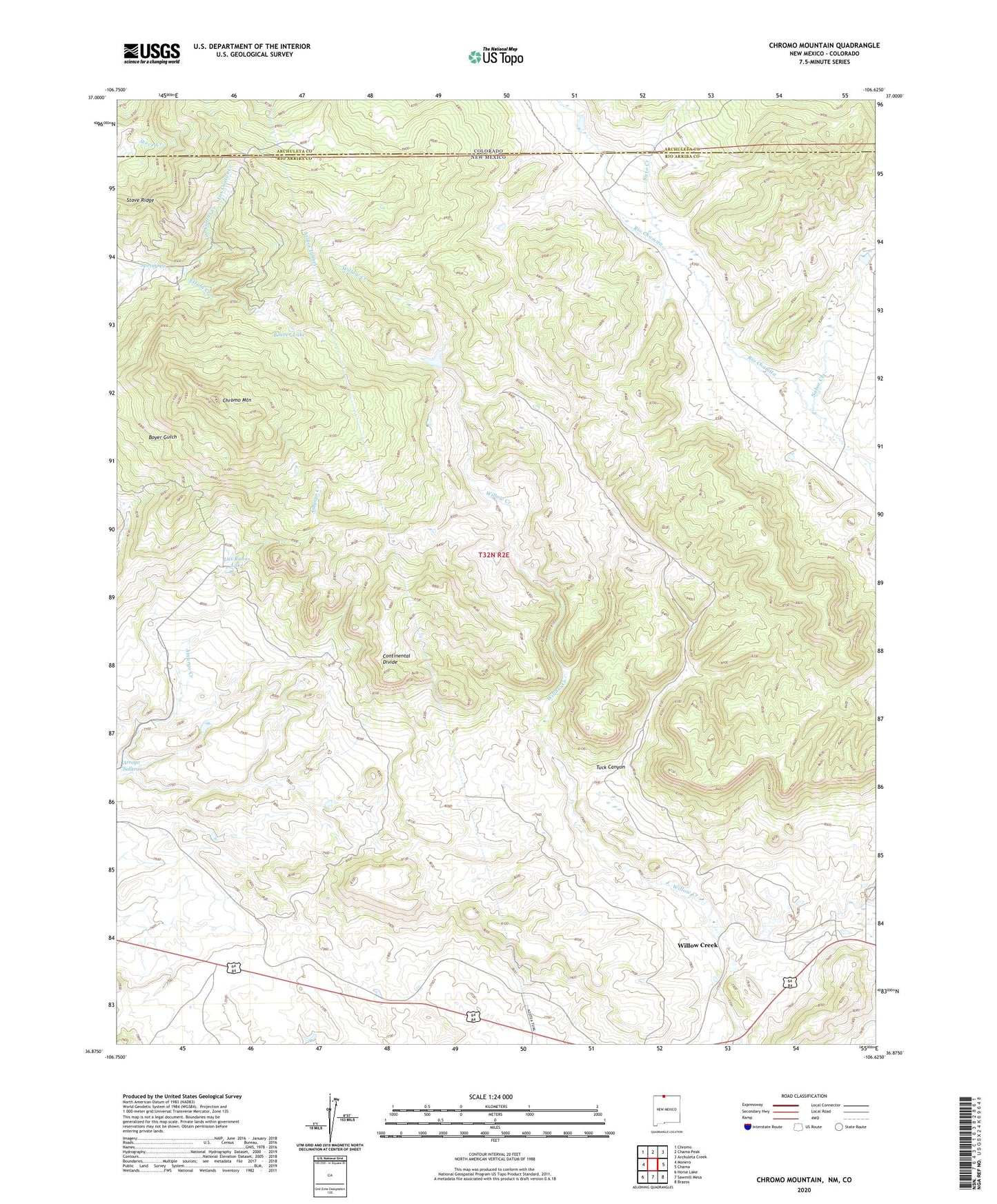
2023 topographic map quadrangle Chromo Mountain in the states of New Mexico, Colorado. Scale: 1:24000. Based on the newly updated USGS 7.5' US Topo map series, this map is in the following counties: Rio Arriba, Archuleta. The map contains contour data, water features, and other items you are used to seeing on USGS maps, but also has updated roads and other features. This is the next generation of topographic maps. Printed on high-quality waterproof paper with UV fade-resistant inks.
Quads adjacent to this one:
West: Monero
Northwest: Chromo
North: Chama Peak
Northeast: Archuleta Creek
East: Chama
Southeast: Brazos
South: Sawmill Mesa
Southwest: Horse Lake
This map covers the same area as the classic USGS quad with code o36106h6.
Contains the following named places: Arroyo Salitrar, Azotea Tunnel, Beaver Lake, Chromo Mountain, Clydes Corral Lake, Estufa Creek, Las Ranas Lake, Los Cuatas Creek, Nabor Creek, Sixto Creek, Stove Ridge, Tuck Canyon, Willow Creek, ZIP Code: 87520