MyTopo
Circle S Mesa New Mexico US Topo Map
Couldn't load pickup availability
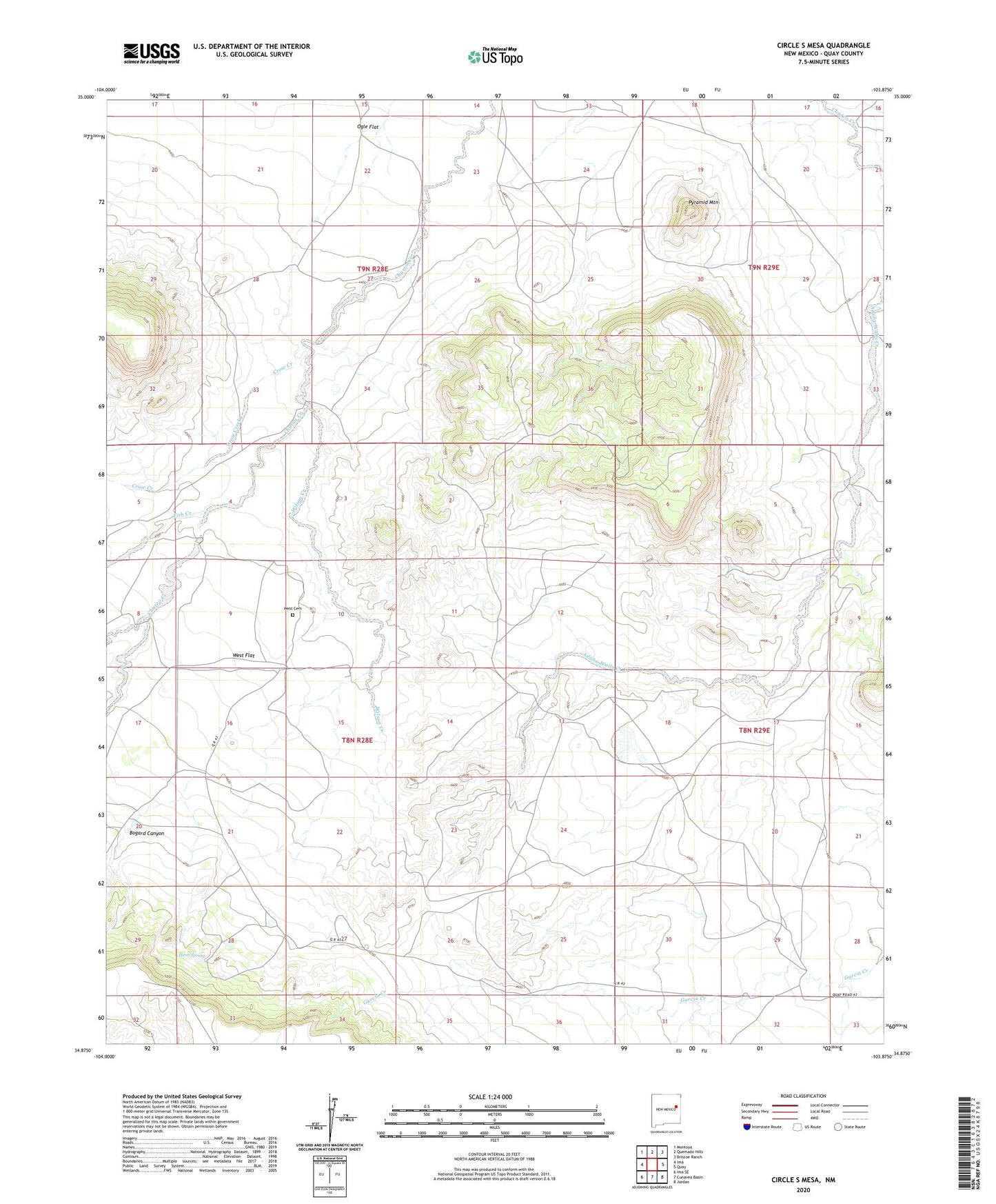
2023 topographic map quadrangle Circle S Mesa in the state of New Mexico. Scale: 1:24000. Based on the newly updated USGS 7.5' US Topo map series, this map is in the following counties: Quay. The map contains contour data, water features, and other items you are used to seeing on USGS maps, but also has updated roads and other features. This is the next generation of topographic maps. Printed on high-quality waterproof paper with UV fade-resistant inks.
Quads adjacent to this one:
West: Ima
Northwest: Montoya
North: Quemado Hills
Northeast: Briscoe Ranch
East: Quay
Southeast: Jordan
South: Cunavea Basin
Southwest: Ima SE
This map covers the same area as the classic USGS quad with code o34103h8.
Contains the following named places: 10263 Water Well, Bogard Canyon, Crow Creek, Davidson Ranch, Fish Creek, Fish Ranch, Ham Windmill, Hern Spring, Ogle, Ogle Flat, Pyramid Mountain, West, West Cemetery, West Flat, West Post Office, Wilson Creek