MyTopo
Costilla New Mexico US Topo Map
Couldn't load pickup availability
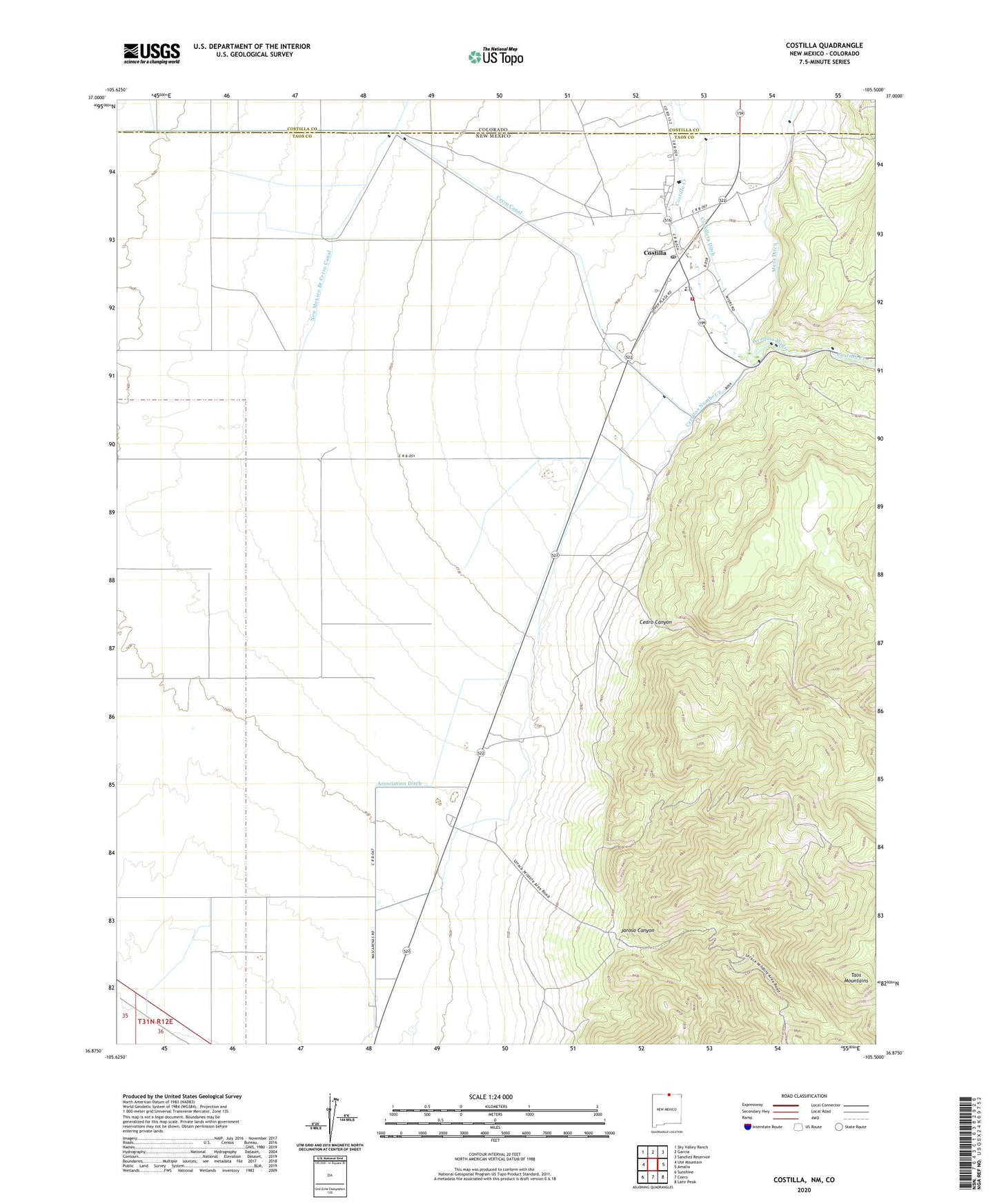
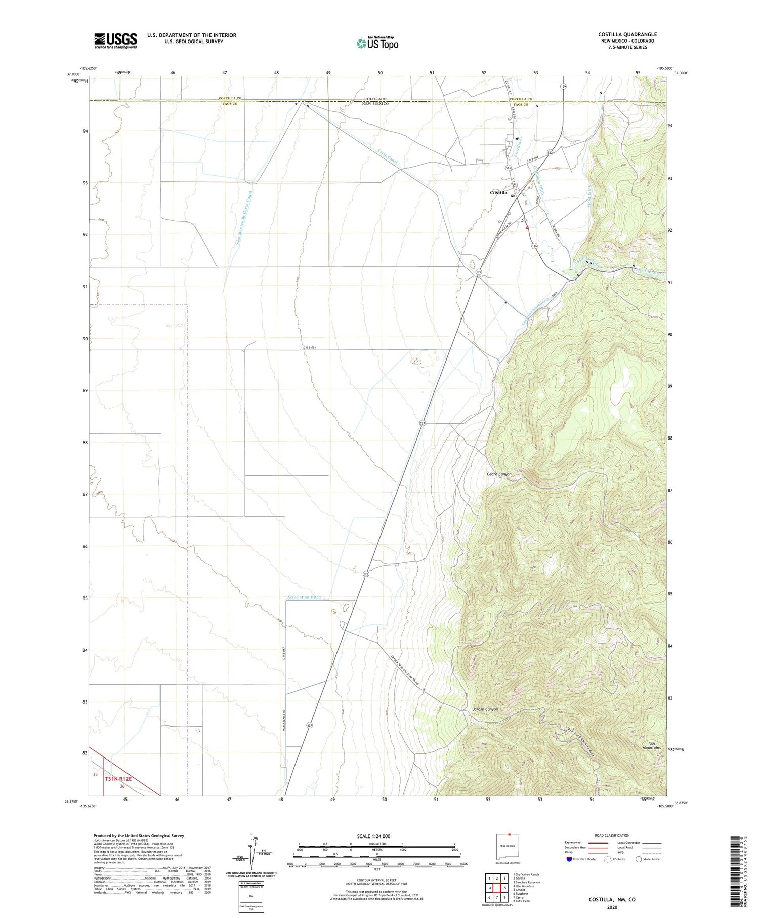
2020 topographic map quadrangle Costilla in the state of New Mexico. Scale: 1:24000. Based on the newly updated USGS 7.5' US Topo map series, this map is in the following counties: Taos, Costilla. The map contains contour data, water features, and other items you are used to seeing on USGS maps, but also has updated roads and other features. This is the next generation of topographic maps. Printed on high-quality waterproof paper with UV fade-resistant inks.
Quads adjacent to this one:
West: Ute Mountain
Northwest: Sky Valley Ranch
North: Garcia
Northeast: Sanchez Reservoir
East: Amalia
Southeast: Latir Peak
South: Cerro
Southwest: Sunshine
Contains the following named places: 10000 Water Well, 10001 Water Well, 10002 Water Well, 10003 Water Well, 10004 Water Well, 10005 Water Well, 10006 Water Well, 10007 Water Well, 10008 Water Well, 10009 Water Well, 10011 Water Well, 10012 Water Well, 10014 Water Well, 10015 Water Well, 10016 Water Well, 10017 Water Well, 10020 Water Well, 10056 Water Well, 10057 Water Well, 10059 Water Well, 10105 Water Well, 10109 Water Well, Acequia Madre, Association Ditch, Cedro Canyon, Cedros Prospect, Cerritos Number 2, Cerro Canal, Cordillera Ditch, Costilla, Costilla Census Designated Place, Costilla Fire Department, Costilla Post Office, Jaroso Canyon, Mesa Ditch, New Mexico Branch Cerro Canal, Urraca Ranch