MyTopo
Circle Bar Ranch New Mexico US Topo Map
Couldn't load pickup availability
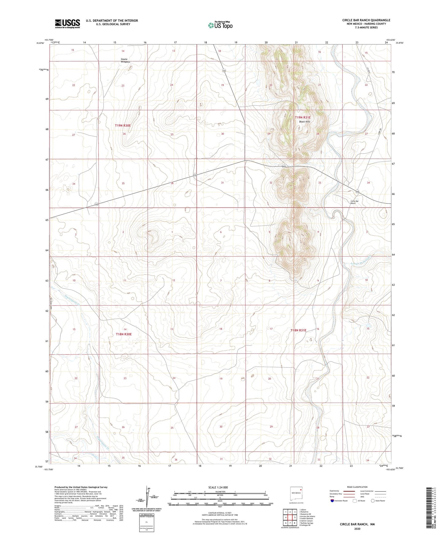
2023 topographic map quadrangle Circle Bar Ranch in the state of New Mexico. Scale: 1:24000. Based on the newly updated USGS 7.5' US Topo map series, this map is in the following counties: Harding. The map contains contour data, water features, and other items you are used to seeing on USGS maps, but also has updated roads and other features. This is the next generation of topographic maps. Printed on high-quality waterproof paper with UV fade-resistant inks.
Quads adjacent to this one:
West: Arroyo Del Alamo
Northwest: Albert
North: Bueyeros
Northeast: Bueyeros NE
East: Indian Bathtub
Southeast: Gallegos NE
South: Buffalo Springs
Southwest: Salitre Canyon
This map covers the same area as the classic USGS quad with code o35103g6.
Contains the following named places: Arroyo de la Cejita, Arroyo del Alamo, Black Hills, Branding Corral Windmill, Cake House Windmill, Circle Bar Ranch, East Steele Windmill, Grandma Mitchell Windmill, Libby, North Creek Windmill, North Piaz Windmill, Penitente Windmill, Ramon Windmill, Salaza Windmill, Sandstone Mountain Windmill, South Creek Windmill, Steele Windmill, Trap Windmill