MyTopo
Gallo Mountains West New Mexico US Topo Map
Couldn't load pickup availability
Also explore the Gallo Mountains West Forest Service Topo of this same quad for updated USFS data
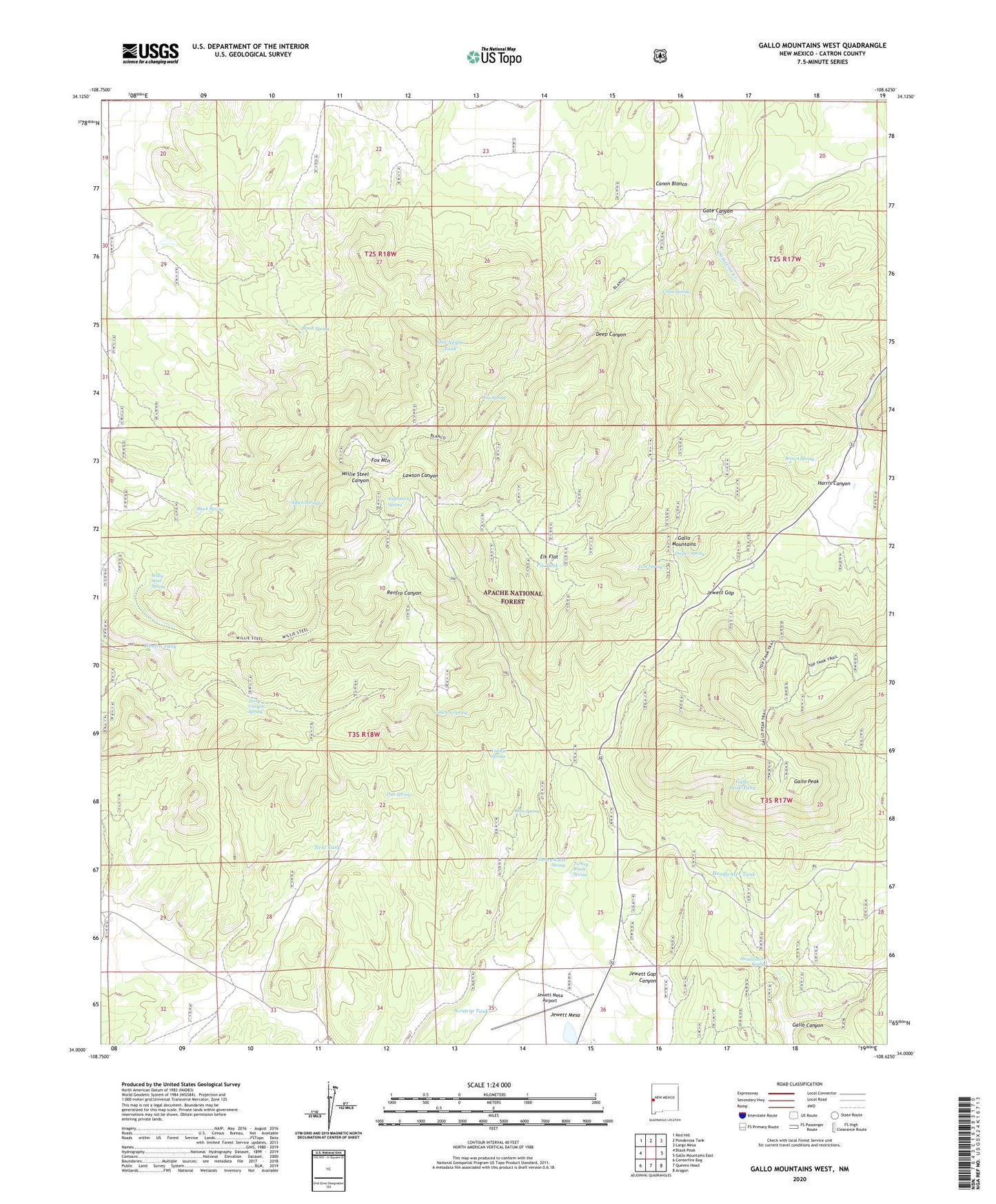
2023 topographic map quadrangle Gallo Mountains West in the state of New Mexico. Scale: 1:24000. Based on the newly updated USGS 7.5' US Topo map series, this map is in the following counties: Catron. The map contains contour data, water features, and other items you are used to seeing on USGS maps, but also has updated roads and other features. This is the next generation of topographic maps. Printed on high-quality waterproof paper with UV fade-resistant inks.
Quads adjacent to this one:
West: Black Peak
Northwest: Red Hill
North: Ponderosa Tank
Northeast: Largo Mesa
East: Gallo Mountains East
Southeast: Aragon
South: Queens Head
Southwest: Centerfire Bog
This map covers the same area as the classic USGS quad with code o34108a6.
Contains the following named places: Airstrip Tank, Apache Well, Aspen Springs, Black Spring, Brown Spring, Brush Spring, Cabin Spring, Candy Windmill, Canon Blanco, Corner Tank, Deep Canyon, Demetrio Creek, Diaper Spring, Elderberry Spring, Elk Flat, Elk Tank, Fox Mountain, Fox Mountain Lookout, Fox Spring, Fox Tank, Gallo Canyon, Gallo Peak, Gallo Peak Tank, Gallo Well, Gap Tank, Gate Canyon, Grassy Tank, Hardcastle Tank, Headwater Tank, Headwaters Spring, Hidden Tank, Jewett Gap, Jewett Gap Campground, Jewett Mesa Airport, Lawson Spring, Lost Spring, Mallet Tank, Next Place, Next Tank, Oak Spring, Oso Negro Tank, Perry Canyon Spring, Pit Tank, Renfro Tank, Road Canyon Tank, Ruin Spring, Steel Tank, Top Tank, Turkey Roast Spring, Turkey Roost Spring, Un Pino Windmill, Uno Pino Windmill, Valorie Spring, Willie Steel Spring, Willie Steel Tank


