
MyTopo
Goat Ridge New Mexico US Topo Map
Couldn't load pickup availability
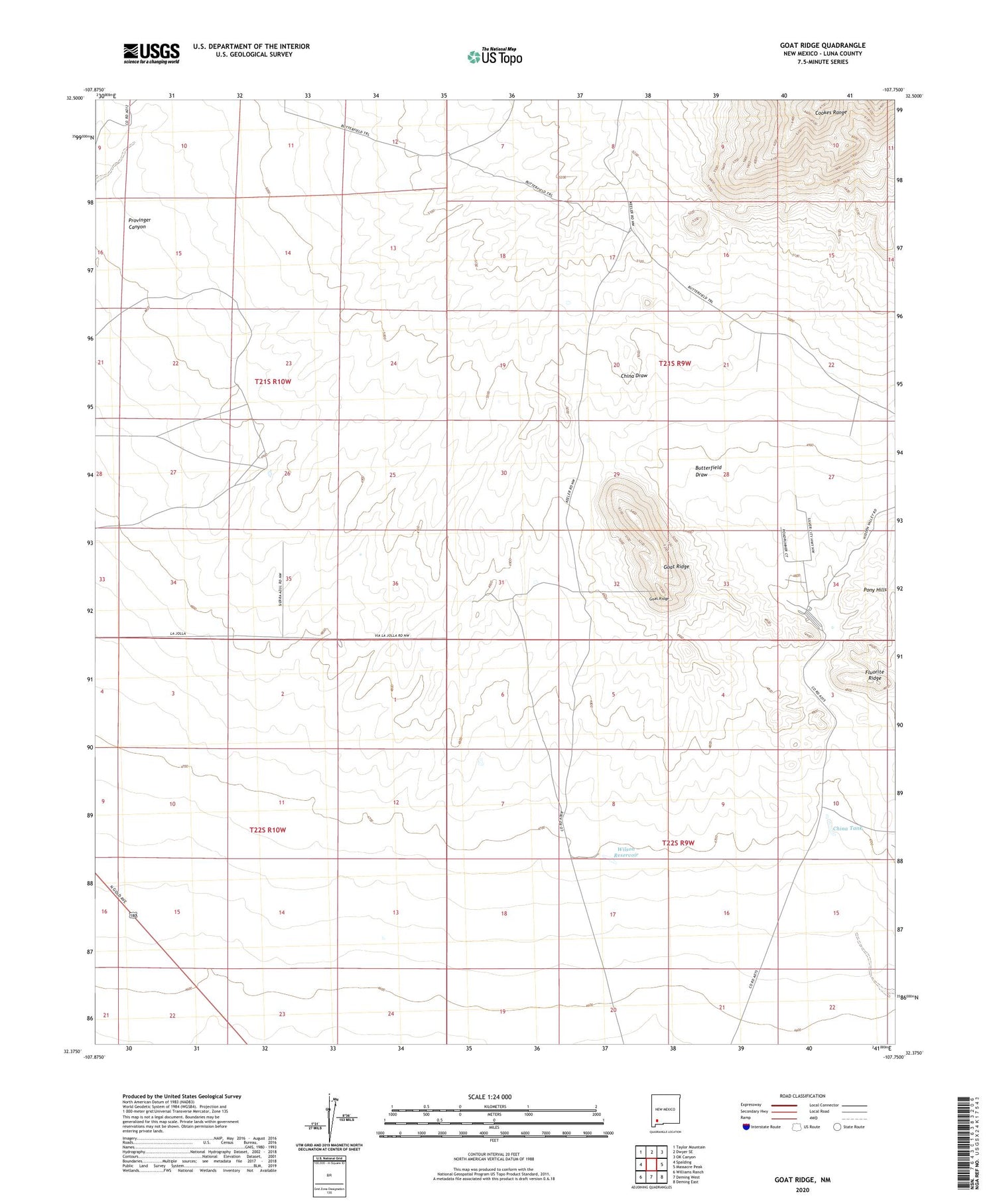
2023 topographic map quadrangle Goat Ridge in the state of New Mexico. Scale: 1:24000. Based on the newly updated USGS 7.5' US Topo map series, this map is in the following counties: Luna. The map contains contour data, water features, and other items you are used to seeing on USGS maps, but also has updated roads and other features. This is the next generation of topographic maps. Printed on high-quality waterproof paper with UV fade-resistant inks.
Quads adjacent to this one:
West: Spalding
Northwest: Taylor Mountain
North: Dwyer SE
Northeast: OK Canyon
East: Massacre Peak
Southeast: Deming East
South: Deming West
Southwest: Williams Ranch
This map covers the same area as the classic USGS quad with code o32107d7.
Contains the following named places: 01237 Water Well, 01239 Water Well, 01244 Water Well, 01285 Water Well, 01286 Water Well, 06137 Water Well, 06138 Water Well, 06140 Water Well, Butterfield Draw, Butterfield Well, Butterfield Windmill, China Tank, Goat Ridge, Mountain Well, Perry Windmill, Wilson Reservoir, Windmill Number 1


