MyTopo
Goldenburg Draw New Mexico US Topo Map
Couldn't load pickup availability
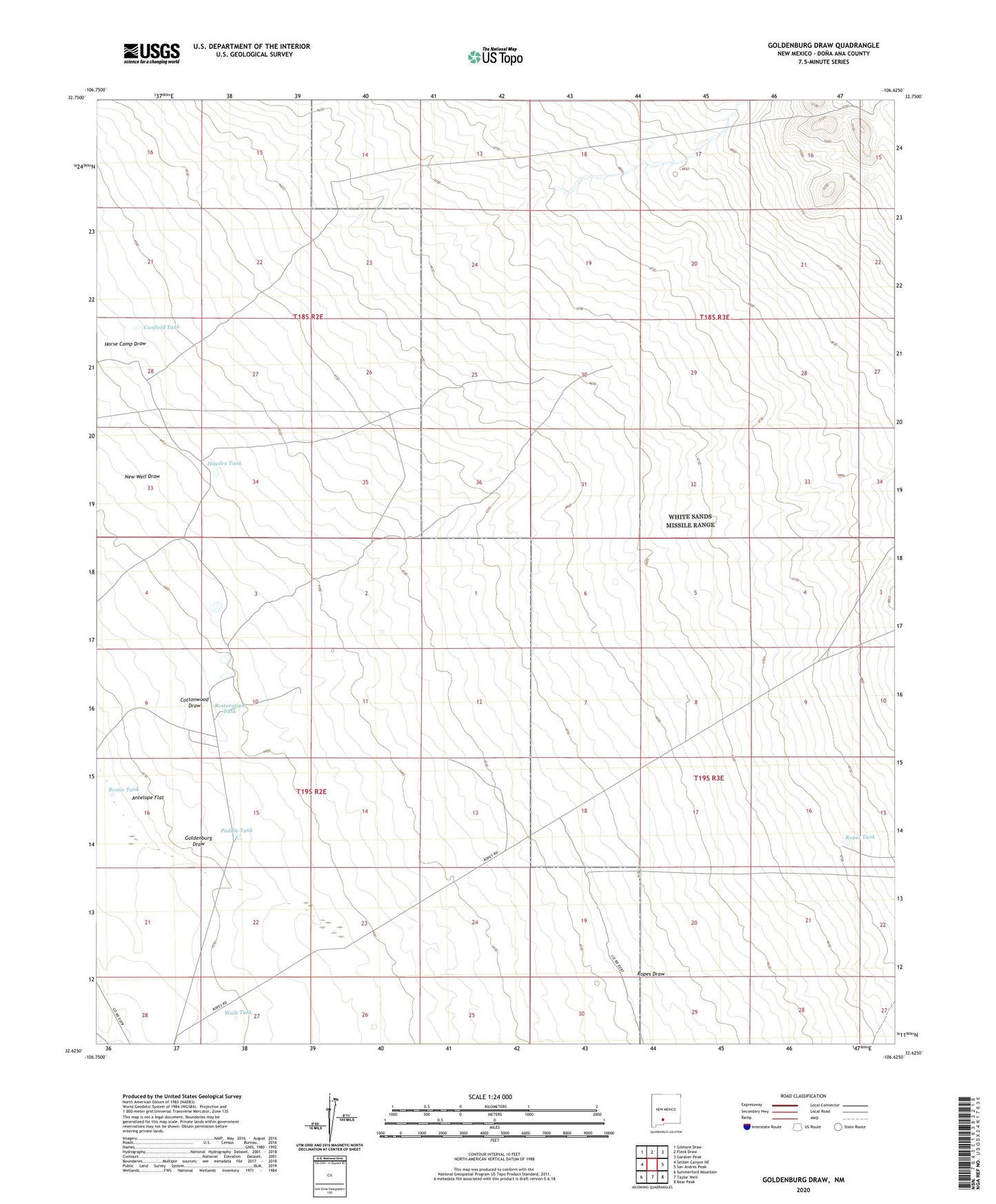
2020 topographic map quadrangle Goldenburg Draw in the state of New Mexico. Scale: 1:24000. Based on the newly updated USGS 7.5' US Topo map series, this map is in the following counties: Doña Ana. The map contains contour data, water features, and other items you are used to seeing on USGS maps, but also has updated roads and other features. This is the next generation of topographic maps. Printed on high-quality waterproof paper with UV fade-resistant inks.
Quads adjacent to this one:
West: Selden Canyon NE
Northwest: Gilmore Draw
North: Fleck Draw
Northeast: Gardner Peak
East: San Andres Peak
Southeast: Bear Peak
South: Taylor Well
Southwest: Summerford Mountain
Contains the following named places: Bomie Tank, Canfield Tank, Cottonwood Draw, Cox Tank, Goldenburg Draw, Hayden Tank, Mesquite Tank, New Well Draw, Puddle Tank, Red Bottom Tank, Restoration Tank, Road Tank, Ropes Draw, Ropes Tank, Turney Well, Walk Tank, Wooten Well, Word Tank