MyTopo
Horsehead Canyon New Mexico US Topo Map
Couldn't load pickup availability
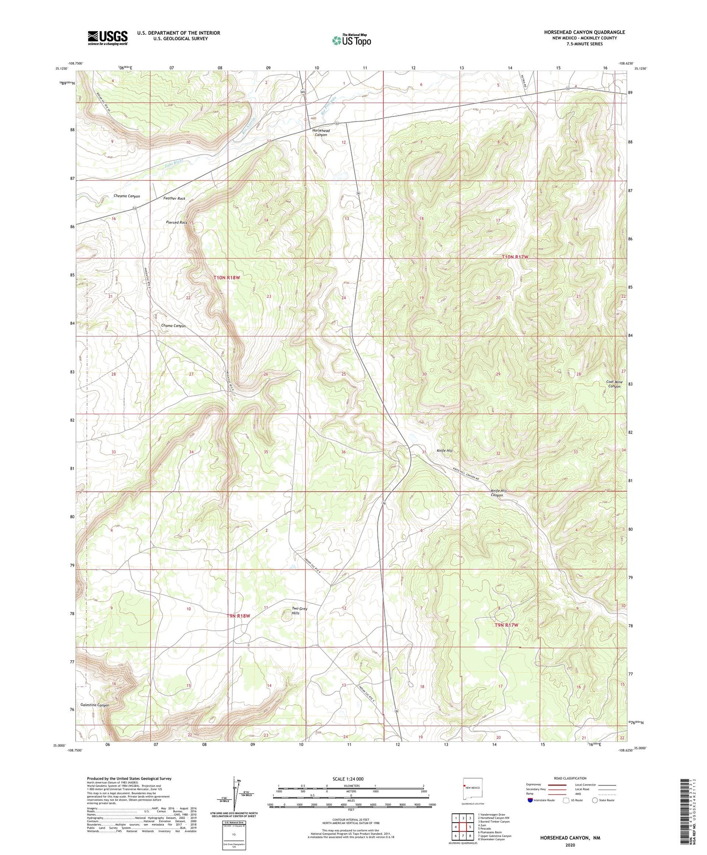
2023 topographic map quadrangle Horsehead Canyon in the state of New Mexico. Scale: 1:24000. Based on the newly updated USGS 7.5' US Topo map series, this map is in the following counties: McKinley. The map contains contour data, water features, and other items you are used to seeing on USGS maps, but also has updated roads and other features. This is the next generation of topographic maps. Printed on high-quality waterproof paper with UV fade-resistant inks.
Quads adjacent to this one:
West: Zuni
Northwest: Vanderwagen Draw
North: Horsehead Canyon NW
Northeast: Burned Timber Canyon
East: Pescado
Southeast: Shoemaker Canyon
South: Upper Galestina Canyon
Southwest: Plumasano Basin
This map covers the same area as the classic USGS quad with code o35108a6.
Contains the following named places: Chama Canyon, Cheama Canyon, Feather Rock, Horsehead Canyon, Knife Hill, Knife Hill Canyon, Pierced Rock, Rio Nutria, Rio Pescado, Two Grey Hills