MyTopo
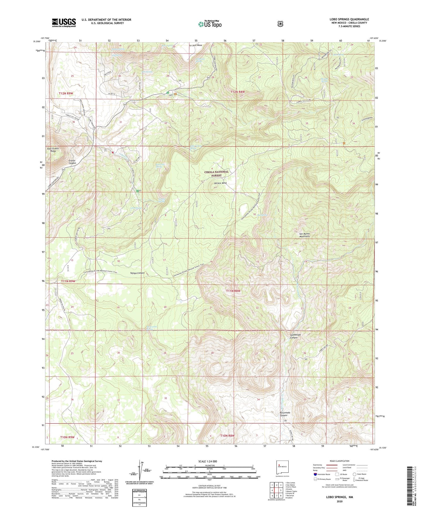
Lobo Springs New Mexico US Topo Map
Couldn't load pickup availability
Also explore the Lobo Springs Forest Service Topo of this same quad for updated USFS data
2023 topographic map quadrangle Lobo Springs in the state of New Mexico. Scale: 1:24000. Based on the newly updated USGS 7.5' US Topo map series, this map is in the following counties: Cibola. The map contains contour data, water features, and other items you are used to seeing on USGS maps, but also has updated roads and other features. This is the next generation of topographic maps. Printed on high-quality waterproof paper with UV fade-resistant inks.
Quads adjacent to this one:
West: Grants
Northwest: Dos Lomas
North: San Mateo
Northeast: Cerro Pelon
East: Mount Taylor
Southeast: Cubero
South: McCartys
Southwest: Grants SE
This map covers the same area as the classic USGS quad with code o35107b6.
Contains the following named places: Acoma Pueblo Indian Land, Big Spring, Boone Mine, Cliff Spring, Coal Mine Canyon Picnic Area, De Armand Spring, East Lobo Spring, Guadalupe Canyon, Hill Number Seven Mine, Horace Mesa, Little Turkey Spring, Lobo Canyon, Lobo Canyon Census Designated Place, Lobo Canyon Volunteer Fire Department, Lobo Picnic Ground, Lobo Springs, Mirabel Spring, Phillips Water Well, Pine Spring, Pumice Spring, Revis Spring, Rinconada Canyon, Rinconada Mine, San Mateo Mountains, Telephone Spring, Tietjen Ranch, Turkey Spring, Turkey Springs Pit, Twin Spring