MyTopo
Lybrook New Mexico US Topo Map
Couldn't load pickup availability
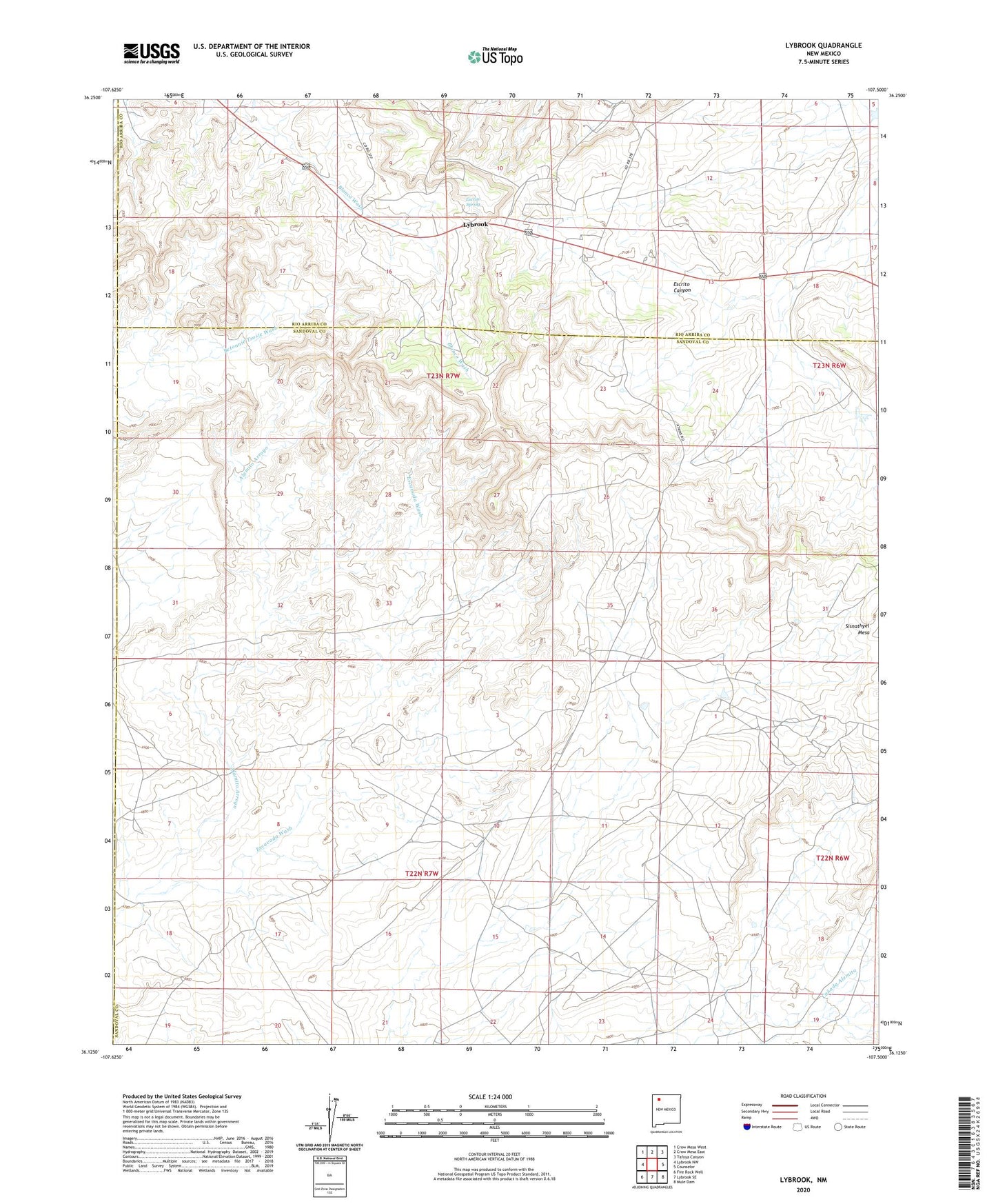
2023 topographic map quadrangle Lybrook in the state of New Mexico. Scale: 1:24000. Based on the newly updated USGS 7.5' US Topo map series, this map is in the following counties: Sandoval, Rio Arriba, San Juan. The map contains contour data, water features, and other items you are used to seeing on USGS maps, but also has updated roads and other features. This is the next generation of topographic maps. Printed on high-quality waterproof paper with UV fade-resistant inks.
Quads adjacent to this one:
West: Lybrook NW
Northwest: Crow Mesa West
North: Crow Mesa East
Northeast: Tafoya Canyon
East: Counselor
Southeast: Mule Dam
South: Lybrook SE
Southwest: Fire Rock Well
This map covers the same area as the classic USGS quad with code o36107b5.
Contains the following named places: Alamito Arroyo, Escrito Spring, Escrito Trading Post, Lybrook, Lybrook Census Designated Place, Lybrook Navajo Mission, Lybrook Volunteer Fire Department, Lybrook Weather Station, Mauzy Trading Post, ZIP Code: 87018